33 Grafton Road, Harrow, HA1 4QS
About 33 Grafton Road
33 Grafton Road is a four-bedroom semi-detached house in Harrow (HA1 4QS). It has a recorded floor area of 154 m² (around 1659 sq ft), construction records dating it to 1930-1949 and council tax band E. The latest certificate (August 2010) shows a C (score 71). When first surveyed in December 2008 the rating was E, the property has climbed 2 bands since. Between certificates, roof efficiency went from Poor to Very Good, hot-water efficiency went from Average to Very Good and lighting went from Good to Very Good; while wall efficiency dropped from Average to Very Poor. The latest certificate is from August 2010, so improvements made since then won't be reflected. Other recorded features include outbuildings. Records show the property has been extended at some point in its history. The home occupies a cul-de-sac position.
Untraded for 19 years, with the last transfer in August 2007. That sale landed at the peak of the pre-credit-crunch market, which is a useful reference point when interpreting the price. At 154 m² the property is well over the postcode median (98 m² across 12 EPCs), placing it in the larger end of the local stock. Today's modelled estimate of £765,000 sits 84.3% above the 2007 sale of £415,000. On a £-per-square-foot basis, the last sale (£250/sq ft) was about 19.1% below the postcode norm. 2 planning records sit against the property, 2 approved, 0 refused. Past consents include an extension, meaningful when judging how the property has evolved.
Know exactly what you're buying at 33 Grafton Road
Before you offer, see what the listing won't tell you, the true value, the red flags and the full history.
Already flagged here
Valuation
against the asking price
Risks
planning & flood
Sold prices
similar homes nearby
Trends
the local market
What this property has
Inside
- Bedrooms4
- Dining roomYes
- EnsuiteYes
Outside
- Private gardenYes
- ParkingOff street
- OutbuildingsYes
- Cul-de-sacYes
Building
- Previously extendedYes
Energy performance
33 Grafton Road's EPC is over a decade old — improvements since won't be reflected.
EPC Expired
This certificate is over 10 years old and is no longer valid.Expired 31 Aug 2020
EPC Rating
Property Improvements
Changes detected from historical EPC data
Hot water efficiency improved
Loft insulation installed or upgraded to 250mm+
More low energy lighting installed
Planning history
- Sept 2023ExtensionConditionsIn report
Details pursuant to Condition 7 (Drainage) attached to planning permission P/0189/23 dated 12/4/23 for Single storey rear extension; first floor side to rear extension; alterations to roof; rear dormer; rooflights in front and rear roofslopes; external alterations
- Reference
- PL/0044/23
- Apr 2023ExtensionFullIn report
Extension: Single storey · Side and rear of property
Single storey rear extension; first floor side to rear extension; alterations to roof; rear dormer; rooflights in front and rear roofslopes; external alterations
- Documents
- 9 docs on file
- Reference
- P/0189/23
We flagged 1 thing worth checking at 33 Grafton Road
Independent checks surfaced things a buyer would want to understand before offering. The report explains each one in full, with the underlying data and what to ask.
- Larger development activity nearby
30-day money-back guarantee
Sales history & valuation
The latest sale landed at the peak of the pre-credit-crunch market — a high-water reference point.
£765,000
Modelled from EPC, postcode comparables.
£415,000
Recorded with HM Land Registry.
Sales timeline
29 August 2007Most recent
£415,000
Median price across the last 5 sales in HA1 4QS: £500,000 (2025–2014).
Everything we know about 33 Grafton Road, in one report
What it's really worth, what could be wrong, and the planning, sales and area data in full.
What we flagged
- Larger development activity nearby

Versus other Grafton Road homes
33 Grafton Road outperforms the street on years held by a wide margin.
Price per m²
£2,692
Street avg £4,070
Floor Area
154 m²
Street avg 108 m²
Habitable Rooms
7 rooms
Street avg 6 rooms
CO₂ Emissions
5.0 t/year
Street avg 5.0 t/year
Similar properties nearby
The neighbourhood at a glance
Rail-style transport is unusually close for this postcode.
Crime
28/mo
Steady year-on-year across the wider district.
Nearest stop
0.3 km
Rutland Road (HA1) — bus stop.
Closest school
0.6 km
Vaughan Primary School. 35 schools nearby.
Go deeper on the local area
The full report breaks down crime, transport links, schools and air quality in depth.
Road noise across the postcode
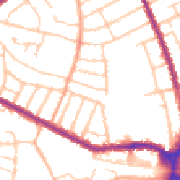
Daytime· 07:00 – 23:00
50.5dB

Night-time· 23:00 – 07:00
41.3dB