29 Grenehurst Way, Petersfield, GU31 4AZ
About 29 Grenehurst Way
29 Grenehurst Way is a four-bedroom mid-terrace house in Petersfield (GU31 4AZ). It has a recorded floor area of 156 m² (around 1679 sq ft), construction records dating it to 1983-1990 and council tax band F. The latest certificate (June 2025) shows a C (score 80), near the top of the C band. The rating has held steady at C across 2 certificates since May 2015. Between certificates, lighting went from Poor to Very Good; while roof efficiency dropped from Very Good to Good. The recommended improvements would push it to B (score 83). The home occupies a cul-de-sac position.
Untraded for 20 years, with the last transfer in March 2006. At 156 m² the property is well over the postcode median (85 m² across 53 EPCs), placing it in the larger end of the local stock. Across 2000–2006, sale prices on this property compounded at 8.6% per year. Today's modelled estimate of £820,000 sits 92.9% above the 2006 sale of £425,000. On a £-per-square-foot basis, the last sale (£253/sq ft) was about 32.8% below the postcode norm. 7 planning records sit against the property, 4 approved, 0 refused. Past consents include an extension and a porch, meaningful when judging how the property has evolved.
Know exactly what you're buying at 29 Grenehurst Way
Before you offer, see what the listing won't tell you, the true value, the red flags and the full history.
Already flagged here
Valuation
against the asking price
Risks
planning & flood
Sold prices
similar homes nearby
Trends
the local market
What this property has
Inside
- Bedrooms4
- Bathrooms3
- EnsuiteYes
Outside
- GarageDouble
- Cul-de-sacYes
Building
- RefurbishedYes
Energy performance
EPC Rating
Property Improvements
Changes detected from historical EPC data
More low energy lighting installed
Planning history
29 Grenehurst Way has been extended on multiple sides of the property across separate planning applications.
- Jan 2016ExtensionConditionsIn report
Discharge of Condition 4 for original Planning Application of 15/03289/HOUS - Single storey front porch extension
- Agent
- Adrian Caplen Associates
- Documents
- 2 docs on file
- Reference
- SDNP/15/05987/DCOND
- Jan 2016ExtensionConditionsIn report
Discharge of Condition 4 for original Planning Application 15/03289/HOUS - Single storey front porch extension
- Agent
- Adrian Caplen Associates
- Documents
- 3 docs on file
- Reference
- SDNP/15/06100/DCOND
We flagged 1 thing worth checking at 29 Grenehurst Way
Independent checks surfaced things a buyer would want to understand before offering. The report explains each one in full, with the underlying data and what to ask.
- Larger development activity nearby
30-day money-back guarantee
Sales history & valuation
29 Grenehurst Way's estimated value is more than triple its earliest registered sale price (2000).
£820,000
Modelled from EPC, postcode comparables and a sale-price growth of 8.6% per year over 6 years.
£425,000
Growth on file: 8.6% per year over 6 years.
Sales timeline
30 March 2006Most recent
£425,000
+63.5%over 5 years19 April 2000
£260,000
Median price across the last 5 sales in GU31 4AZ: £525,000 (2025–2024).
Nearby sales in GU31 4AZ
92 Grenehurst Way, Petersfield, GU31 4AZ
Sold Oct 2025
£325,00047 Grenehurst Way, Petersfield, GU31 4AZ
Sold Sept 2025
£350,00080 Grenehurst Way, Petersfield, GU31 4AZ
Sold Oct 2024
£756,50017 Grenehurst Way, Petersfield, GU31 4AZ
Sold Oct 2024
£525,00048 Grenehurst Way, Petersfield, GU31 4AZ
Sold Aug 2024
£555,000
Everything we know about 29 Grenehurst Way, in one report
What it's really worth, what could be wrong, and the planning, sales and area data in full.
What we flagged
- Larger development activity nearby

Versus other Grenehurst Way homes
29 Grenehurst Way outperforms the street on epc rating by a wide margin.
Price per m²
£2,724
Street avg £4,633
Floor Area
156 m²
Street avg 99 m²
Habitable Rooms
7 rooms
Street avg 5 rooms
CO₂ Emissions
3.3 t/year
Street avg 3.4 t/year
Similar properties nearby
The neighbourhood at a glance
Rail-style transport is unusually close for this postcode.
Crime
1/mo
Steady year-on-year across the wider district.
Nearest stop
0.2 km
Tor Way — bus stop.
Closest school
0.4 km
Petersfield Infant School. 6 schools nearby.
Go deeper on the local area
The full report breaks down crime, transport links, schools and air quality in depth.
Road noise across the postcode
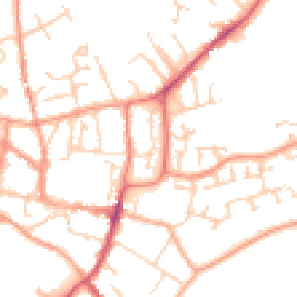
Daytime· 07:00 – 23:00
50.0dB
Night-time· 23:00 – 07:00
39.6dB