7 Geldof Drive, Blackpool, FY1 2AQ
About 7 Geldof Drive
7 Geldof Drive is a detached house in Blackpool (FY1 2AQ). It has a recorded floor area of 132 m² (around 1421 sq ft), construction records dating it to 1996-2002 and council tax band E. The latest certificate (October 2020) shows a C (score 70). The rating has held steady at C across 2 certificates since January 2010. Between certificates, roof efficiency went from Average to Good and lighting went from Very Poor to Very Good. The recommended improvements would push it to B (score 81).
At 132 m² the property is well over the postcode median (82 m² across 26 EPCs), placing it in the larger end of the local stock. Its energy rating outperforms most of the postcode (better than 77% of similar EPCs). Sold September 2020 for £189,000. Across the public record there are 5 sales, relatively high churn for a single property. One planning record on file: an extension approved in 2004. Past consents include an extension, meaningful when judging how the property has evolved. Across 1997–2020, sale prices on this property compounded at 4.8% per year. Today's modelled estimate of £235,000 is 24.3% above the 2020 sale price. On a £-per-square-foot basis, the last sale (£133/sq ft) was about 20.5% below the postcode norm.
Everything you need to know about 7 Geldof Drive
The true value, the hidden risks and the full sale history, in one report.
Pick your report · every report is £14.99
One time fee only - money back guarantee

The data behind every report


Energy performance
EPC Rating
Property Improvements
Changes detected from historical EPC data
Roof insulation improved
More low energy lighting installed
Get a survey for this property
Level 2 HomeBuyer Report
We've checked 10 risk factors against the available data for this property and believe a Level 2 HomeBuyer Report could be a suitable option for you.
From £545 · Includes VAT
Planning history
7 Geldof Drive has an approved single-storey side and rear extension on the planning record.
1 application on record at 7 Geldof Drive, Blackpool, FY1 2AQ
- Aug 2004ExtensionFullOutcome in report
Extension: Single storey · Side and rear of property
Erection of first floor extension to side and rear.
- Documents
- 1 doc on file
- Reference
- 04/0661
Unlock 7 Geldof Drive, Blackpool, FY1 2AQ's full planning history
You're seeing the shape of it. The report has the substance.
- Every decision — granted, refused or withdrawn (1 on record)
- All 1 application on this property in full, plus 2 notable nearby
- The 1 documents, officer reports & conditions
- What the pattern means for extending or converting here
One time fee only - money back guarantee
Sales history & valuation
7 Geldof Drive has more than doubled in price since the earliest registered sale in 1997.
£235,000
Modelled from EPC, postcode comparables and a sale-price growth of 4.8% per year over 23 years.
£189,000
Growth on file: 4.8% per year over 23 years.
Sales timeline
10 September 2020Most recent
£189,000
-21.3%over 13 years3 April 2007
£240,000
+133.1%over 5 years10 January 2002
£102,950
+47.1%over 2 years5 August 1999
£70,000
+7.7%over 1 year19 December 1997
£65,000
Median price across the last 5 sales in FY1 2AQ: £195,000 (2025–2025).
Nearby sales in FY1 2AQ
Versus other Geldof Drive homes
On habitable rooms, 7 Geldof Drive stands well clear of the street.
Price per m²
£1,432
Street avg £2,097
Floor Area
132 m²
Street avg 86 m²
Habitable Rooms
7 rooms
Street avg 5 rooms
CO₂ Emissions
4.6 t/year
Street avg 4.1 t/year
Everything you need to know about 7 Geldof Drive
The true value, the hidden risks and the full sale history, in one report.
Pick your report · every report is £14.99
One time fee only - money back guarantee
The data behind every report
Similar properties nearby
The neighbourhood at a glance
Rail-style transport is unusually close for this postcode.
Crime
8/mo
Rising year-on-year across the wider district.
Nearest stop
0.1 km
Claremont Park — bus stop.
Closest school
0.1 km
Holy Family Catholic Primary School. 19 schools nearby.
Go deeper on the local area
A Local Area report breaks down crime, transport links, schools and air quality in depth.
Road noise across the postcode
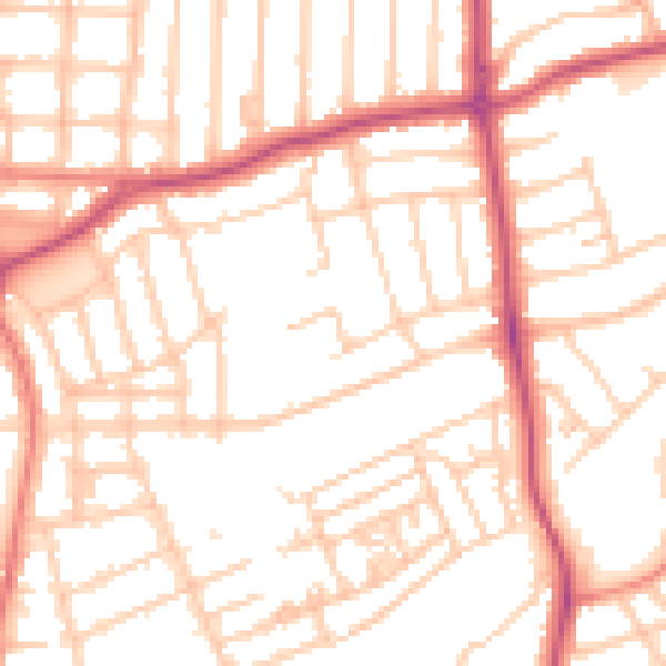
Daytime· 07:00 – 23:00
52.0dB

Night-time· 23:00 – 07:00
41.0dB