3 Bickleigh Close, Exeter, EX4 8QB
About 3 Bickleigh Close
3 Bickleigh Close is a four-bedroom detached house in Exeter (EX4 8QB). It has a recorded floor area of 97 m² (around 1044 sq ft), construction records dating it to 1967-1975 and council tax band D. The latest certificate (May 2017) shows a D (score 64), on the cusp of jumping into the C band. The recommended improvements would push it to C (score 79).
8 years since the last transfer (March 2018). Today's modelled estimate of £401,000 is 29.4% above the 2018 sale price.
Know exactly what you're buying at 3 Bickleigh Close
Before you offer, see what the listing won't tell you, the true value, the red flags and the full history.
Already flagged here
Valuation
against the asking price
Risks
planning & flood
Sold prices
similar homes nearby
Trends
the local market
What this property has
Inside
- Bedrooms4
Energy performance
EPC Rating
Planning history
3 Bickleigh Close has no planning applications on record.
Notable planning nearby
3applications of note in the surrounding area
We flagged 1 thing worth checking at 3 Bickleigh Close
Independent checks surfaced things a buyer would want to understand before offering. The report explains each one in full, with the underlying data and what to ask.
- Larger development activity nearby
30-day money-back guarantee
Sales history & valuation
3 Bickleigh Close valuation sits well clear of the typical sold price in this postcode.
£401,000
Modelled from EPC, postcode comparables.
£310,000
Recorded with HM Land Registry.
Sales timeline
27 March 2018Most recent
£310,000
Median price across the last 5 sales in EX4 8QB: £343,000 (2025–2022).
Nearby sales in EX4 8QB
Everything we know about 3 Bickleigh Close, in one report
What it's really worth, what could be wrong, and the planning, sales and area data in full.
What we flagged
- Larger development activity nearby

Versus other Bickleigh Close homes
Habitable Rooms for 3 Bickleigh Close runs comfortably ahead of the street norm.
Price per m²
£3,196
Street avg £2,990
Floor Area
97 m²
Street avg 98 m²
Habitable Rooms
7 rooms
Street avg 5 rooms
CO₂ Emissions
3.4 t/year
Street avg 3.8 t/year
Similar properties nearby
The neighbourhood at a glance
Rail-style transport is unusually close for this postcode.
Crime
12/mo
Steady year-on-year across the wider district.
Nearest stop
0.2 km
Bradfield Road — bus stop.
Closest school
0.2 km
Pinhoe Church of England Primary School & Nursery. 15 schools nearby.
Go deeper on the local area
The full report breaks down crime, transport links, schools and air quality in depth.
Road noise across the postcode
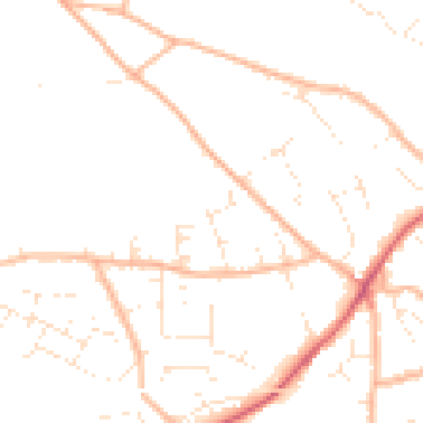
Daytime· 07:00 – 23:00
48.3dB

Night-time· 23:00 – 07:00
38.3dB