3 Corn Park Close, Ashford, Barnstaple, EX31 4FX
About 3 Corn Park Close
3 Corn Park Close is a detached house in Ashford, Barnstaple, Barnstaple (EX31 4FX). It has a recorded floor area of 193 m² (around 2077 sq ft) and construction records dating it to 2023. The latest certificate (December 2023) returns a high B (score 85), putting the home a stone's throw from an A rating.
Know exactly what you're buying at 3 Corn Park Close
Before you offer, see what the listing won't tell you, the true value, the red flags and the full history.
Already flagged here
Valuation
against the asking price
Risks
planning & flood
Sold prices
similar homes nearby
Trends
the local market
Energy performance
EPC Rating
Planning history
3 Corn Park Close has no planning applications on record.
Notable planning nearby
4applications of note in the surrounding area
We flagged 1 thing worth checking at 3 Corn Park Close
Independent checks surfaced things a buyer would want to understand before offering. The report explains each one in full, with the underlying data and what to ask.
- Larger development activity nearby
30-day money-back guarantee
Sales history & valuation
3 Corn Park Close has no Land Registry sales on file, suggesting it has stayed in the same hands since registration began.
£688,000
Modelled from EPC, postcode comparables.
No sales recorded with HM Land Registry
That can mean the property has never traded since the registry began publishing in 1995, was a new build that hasn't been registered yet, or is held in the same hands long-term.
Median price across the last 2 sales in EX31 4FX: £790,000 (2022–2022).
Everything we know about 3 Corn Park Close, in one report
What it's really worth, what could be wrong, and the planning, sales and area data in full.
What we flagged
- Larger development activity nearby

Versus other Corn Park Close homes
EPC Rating
85 (B)
Street avg 85 (B)
Floor Area
193 m²
Street avg 160 m²
CO₂ Emissions
2.4 t/year
Street avg 2.0 t/year
Similar properties nearby
1 Anchor Mills, Bradiford
EX31 4DP
1 Barnfield, Bratton Fleming
EX31 4RT
1 Barton Town Cottages, Challacombe
EX31 4TW
1 Duckpool Road, Chivenor
EX31 4EW
1, Bradiford
EX31 4AD
1 Brindleys Cottages, Ashford
EX31 4DE
1 Chardon Close, Chivenor
EX31 4FF
1 Coxleigh Cottages, Shirwell
EX31 4JL
The neighbourhood at a glance
Crime
2/mo
Steady year-on-year across the wider district.
Nearest stop
0.2 km
Garden Centre — bus stop.
Closest school
2.2 km
Pilton Community College. 5 schools nearby.
Go deeper on the local area
The full report breaks down crime, transport links, schools and air quality in depth.
Road noise across the postcode
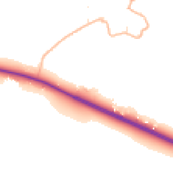
Daytime· 07:00 – 23:00
50.5dB

Night-time· 23:00 – 07:00
41.4dB