29 Calvert Road, Barnet, EN5 4HH
About 29 Calvert Road
29 Calvert Road is a two-bedroom mid-terrace house in Barnet (EN5 4HH). It has a recorded floor area of 44 m² (around 479 sq ft), construction records dating it to 1900-1929 and council tax band D. The latest certificate (February 2010) shows a C (score 76), near the top of the C band. Earlier certificates rated it B (February 2010); the latest reading is one band lower. The latest certificate is from February 2010, so improvements made since then won't be reflected. Period features are noted in the property record.
At 44 m² it sits well below the postcode median (74 m² across 20 EPCs), making it one of the more compact homes locally. Its energy rating outperforms most of the postcode (better than 75% of similar EPCs). One planning record on file: an extension approved in 2011. Past consents include an extension and a conservatory, meaningful when judging how the property has evolved. Across 1995–2015, sale prices on this property compounded at 8.9% per year. Today's modelled estimate of £484,000 is 27.4% above the 2015 sale price. On a £-per-square-foot basis, the last sale (£794/sq ft) was about 85.5% above the typical sold price in the postcode. 11 years since the last transfer (July 2015).
Know exactly what you're buying at 29 Calvert Road
Before you offer, see what the listing won't tell you, the true value, the red flags and the full history.
Already flagged here
Valuation
against the asking price
Risks
planning & flood
Sold prices
similar homes nearby
Trends
the local market
What this property has
Inside
- Bedrooms2
- Bathrooms1
- Dining roomYes
Outside
- Private gardenYes
- Summer houseYes
Building
- Period featuresYes
- RefurbishedYes
Energy performance
29 Calvert Road's EPC is over a decade old — improvements since won't be reflected.
EPC Expired
This certificate is over 10 years old and is no longer valid.Expired 17 Feb 2020
EPC Rating
Planning history
29 Calvert Road has an approved single-storey rear extension on the planning record.
- Aug 2011ConservatoryFullIn report
Extension: Single storey · Rear of property
Single storey rear extension replacing existing conservatory.
- Agent
- Mr B Hatfield
Extension- Documents
- 3 docs on file
- Reference
- B/02544/11
We flagged 2 things worth checking at 29 Calvert Road
Independent checks surfaced things a buyer would want to understand before offering. The report explains each one in full, with the underlying data and what to ask.
- Signs of HMO activity in the area
- Larger development activity nearby
30-day money-back guarantee
Sales history & valuation
Price for 29 Calvert Road has grown more than fourfold since the 1995 starting point.
£484,000
Modelled from EPC, postcode comparables and a sale-price growth of 8.9% per year over 20 years.
£380,000
Growth on file: 8.9% per year over 20 years.
Sales timeline
1 July 2015Most recent
£380,000
+34.8%over 4 years14 July 2010
£282,000
+294.4%over 14 years15 December 1995
£71,500
Median price across the last 5 sales in EN5 4HH: £575,000 (2025–2023).
Everything we know about 29 Calvert Road, in one report
What it's really worth, what could be wrong, and the planning, sales and area data in full.
What we flagged
- Signs of HMO activity in the area
- Larger development activity nearby

Versus other Calvert Road homes
EPC Rating for 29 Calvert Road runs comfortably ahead of the street norm.
Price per m²
£8,543
Street avg £6,475
Floor Area
44 m²
Street avg 83 m²
Habitable Rooms
3 rooms
Street avg 5 rooms
CO₂ Emissions
1.9 t/year
Street avg 3.9 t/year
Similar properties nearby
1 Bartletts Cottages, St Albans Road
EN5 4LL
1 Avenue Villas, The Avenue
EN5 4ES
1 Cattley Close
EN5 4SN
1 Grimsdyke Crescent
EN5 4AH
1 Green Dragon Barn, St Albans Road
EN5 4RE
1 Dancers Hill Cottages, Dancers Hill Road
EN5 4RT
1 Elizabeth Close
EN5 4DP
1 Campana Court, Blenheim Road
EN5 4NG
The neighbourhood at a glance
Daytime road noise here sits well below conversation level — a quiet pocket of the postcode.
Crime
3/mo
Steady year-on-year across the wider district.
Nearest stop
0.3 km
Sunset View — bus stop.
Closest school
0.2 km
Christ Church Primary School. 15 schools nearby.
Go deeper on the local area
The full report breaks down crime, transport links, schools and air quality in depth.
Road noise across the postcode
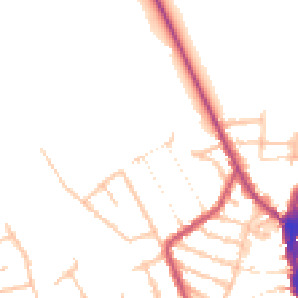
Daytime· 07:00 – 23:00
47.6dB

Night-time· 23:00 – 07:00
39.6dB