15 Durants Road, Enfield, EN3 7AN
About 15 Durants Road
15 Durants Road is an end-of-terrace house in Enfield (EN3 7AN). It has a recorded floor area of 80 m² (around 861 sq ft), construction records dating it to 1996-2002 and council tax band C. The latest certificate (March 2019) shows a C (score 71). The recommended improvements would push it to B (score 84).
It hasn't traded since August 1997, a hold of 29 years that's notably long for the area. Across 1995–1997, sale prices on this property compounded at 15.4% per year. Today's modelled estimate of £419,000 sits 264.3% above the 1997 sale of £115,000. Its energy rating outperforms most of the postcode (better than 80% of similar EPCs).
Everything you need to know about 15 Durants Road
The true value, the hidden risks and the full sale history, in one report.
30-day money-back guarantee

The data behind every report


Energy performance
EPC Rating
Planning history
15 Durants Road has no planning applications on record.
Notable planning nearby
30applications of note in the surrounding area
We flagged 2 things worth checking at 15 Durants Road
Independent checks surfaced things a buyer would want to understand before offering. The report explains each one in full, with the underlying data and what to ask.
- Signs of HMO activity in the area
- Larger development activity nearby
30-day money-back guarantee
Sales history & valuation
15 Durants Road's modelled value sits at over four times its earliest registered sale price (1995).
£419,000
Modelled from EPC, postcode comparables and a sale-price growth of 15.4% per year over 2 years.
£115,000
Growth on file: 15.4% per year over 2 years.
Sales timeline
20 August 1997Most recent
£115,000
+9.5%over 1 year18 April 1996
£105,000
+16.7%4 December 1995
£90,000
Median price across the last 5 sales in EN3 7AN: £273,000 (2022–2018).
Versus other Durants Road homes
On years held, 15 Durants Road stands well clear of the street.
Price per m²
£1,438
Street avg £2,055
Floor Area
80 m²
Street avg 103 m²
Habitable Rooms
3 rooms
Street avg 5 rooms
CO₂ Emissions
2.6 t/year
Street avg 4.6 t/year
Everything you need to know about 15 Durants Road
The true value, the hidden risks and the full sale history, in one report.
30-day money-back guarantee
The data behind every report
Similar properties nearby
The neighbourhood at a glance
Rail-style transport is unusually close for this postcode.
Crime
8/mo
Rising year-on-year across the wider district.
Nearest stop
0.1 km
Ponders End High Street — bus stop.
Closest school
0.3 km
Southbury Primary School. 46 schools nearby.
Go deeper on the local area
The full report breaks down crime, transport links, schools and air quality in depth.
Road noise across the postcode
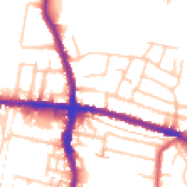
Daytime· 07:00 – 23:00
52.9dB

Night-time· 23:00 – 07:00
42.7dB