5a, Durants Road, Enfield, EN3 7AN
About 5a
5a is a semi-detached house in Enfield (EN3 7AN). It has a recorded floor area of 63 m² (around 678 sq ft), construction records dating it to 1900-1929 and council tax band C. The latest certificate (May 2024) shows a D (score 67), on the cusp of jumping into the C band. When first surveyed in May 2014 the rating was E, the property has climbed 1 band since. Between certificates, roof efficiency went from Very Poor to Average, window efficiency went from Average to Good and lighting went from Very Poor to Very Good. The recommended improvements would push it to C (score 78).
On a £-per-square-foot basis, the last sale (£403/sq ft) was about 176.8% above the typical sold price in the postcode. At 63 m² it's 21.3% smaller than the typical home in the postcode (80 m² median across 35 EPCs). Most recent transfer: June 2021 at £273,000. That sale was during the post-pandemic price surge, when transactions cleared materially above pre-2020 trend.
Everything you need to know about 5a
The true value, the hidden risks and the full sale history, in one report.
30-day money-back guarantee

The data behind every report


Energy performance
EPC Rating
Property Improvements
Changes detected from historical EPC data
Heating controls upgraded for better temperature management
Window efficiency improved
Roof insulation improved
More low energy lighting installed
Planning history
5a has no planning applications on record.
Notable planning nearby
30applications of note in the surrounding area
We flagged 2 things worth checking at 5a
Independent checks surfaced things a buyer would want to understand before offering. The report explains each one in full, with the underlying data and what to ask.
- Signs of HMO activity in the area
- Larger development activity nearby
30-day money-back guarantee
Sales history & valuation
The latest sale landed in the post-pandemic price surge — useful context when reading the figure.
£288,000
Modelled from EPC, postcode comparables.
£273,000
Recorded with HM Land Registry.
Sales timeline
21 June 2021Most recent
£273,000
Median price across the last 5 sales in EN3 7AN: £289,999 (2022–2018).
Versus other Durants Road homes
5a outperforms the street on price per m² by a wide margin.
Price per m²
£4,333
Street avg £4,785
Floor Area
63 m²
Street avg 45 m²
Habitable Rooms
3 rooms
Street avg 2 rooms
CO₂ Emissions
2.6 t/year
Street avg 2.5 t/year
Everything you need to know about 5a
The true value, the hidden risks and the full sale history, in one report.
30-day money-back guarantee
The data behind every report
Similar properties nearby
The neighbourhood at a glance
Rail-style transport is unusually close for this postcode.
Crime
8/mo
Rising year-on-year across the wider district.
Nearest stop
0.1 km
Ponders End High Street — bus stop.
Closest school
0.3 km
Southbury Primary School. 46 schools nearby.
Go deeper on the local area
The full report breaks down crime, transport links, schools and air quality in depth.
Road noise across the postcode
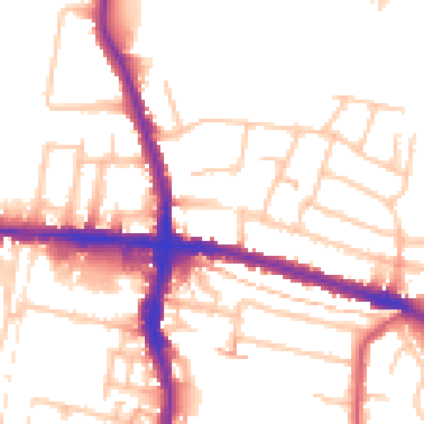
Daytime· 07:00 – 23:00
52.9dB

Night-time· 23:00 – 07:00
42.7dB