8 Barrass Close, Enfield, EN3 6WP
About 8 Barrass Close
8 Barrass Close is a mid-terrace house in Enfield (EN3 6WP). It has a recorded floor area of 84 m² (around 906 sq ft), construction records dating it to 1996-2002 and council tax band E. The latest certificate (February 2011) shows a C (score 76), near the top of the C band. The recommended improvements would push it to B (score 81). The latest certificate is from February 2011, so improvements made since then won't be reflected.
It hasn't traded since July 2000, a hold of 26 years that's notably long for the area. Only one transfer is on record with HM Land Registry, suggesting it has stayed in the same hands for a long time. Today's modelled estimate of £428,000 sits 170.9% above the 2000 sale of £158,000. On a £-per-square-foot basis, the last sale (£174/sq ft) was about 19.1% below the postcode norm.
Everything you need to know about 8 Barrass Close
The true value, the hidden risks and the full sale history, in one report.
30-day money-back guarantee

The data behind every report


Energy performance
8 Barrass Close's EPC is over a decade old — improvements since won't be reflected.
EPC Expired
This certificate is over 10 years old and is no longer valid.Expired 10 Feb 2021
EPC Rating
Planning history
8 Barrass Close has no planning applications on record.
Notable planning nearby
52applications of note in the surrounding area
We flagged 1 thing worth checking at 8 Barrass Close
Independent checks surfaced things a buyer would want to understand before offering. The report explains each one in full, with the underlying data and what to ask.
- Signs of HMO activity in the area
30-day money-back guarantee
Sales history & valuation
8 Barrass Close valuation sits well clear of the typical sold price in this postcode.
£428,000
Modelled from EPC, postcode comparables.
£158,000
Recorded with HM Land Registry.
Sales timeline
30 July 2000Most recent
£158,000
Median price across the last 5 sales in EN3 6WP: £405,000 (2021–2015).
Versus other Barrass Close homes
On price per m², 8 Barrass Close runs well behind the street norm.
Price per m²
£1,877
Street avg £3,086
Floor Area
84 m²
Street avg 96 m²
Habitable Rooms
4 rooms
Street avg 5 rooms
CO₂ Emissions
2.6 t/year
Street avg 2.7 t/year
Everything you need to know about 8 Barrass Close
The true value, the hidden risks and the full sale history, in one report.
30-day money-back guarantee
The data behind every report
Similar properties nearby
The neighbourhood at a glance
Reported crime in the wider district is trending notably upward year-on-year.
Crime
8/mo
Rising year-on-year across the wider district.
Nearest stop
0.2 km
Gunner Drive — bus stop.
Closest school
0.7 km
Oasis Academy Enfield. 23 schools nearby.
Go deeper on the local area
The full report breaks down crime, transport links, schools and air quality in depth.
Road noise across the postcode
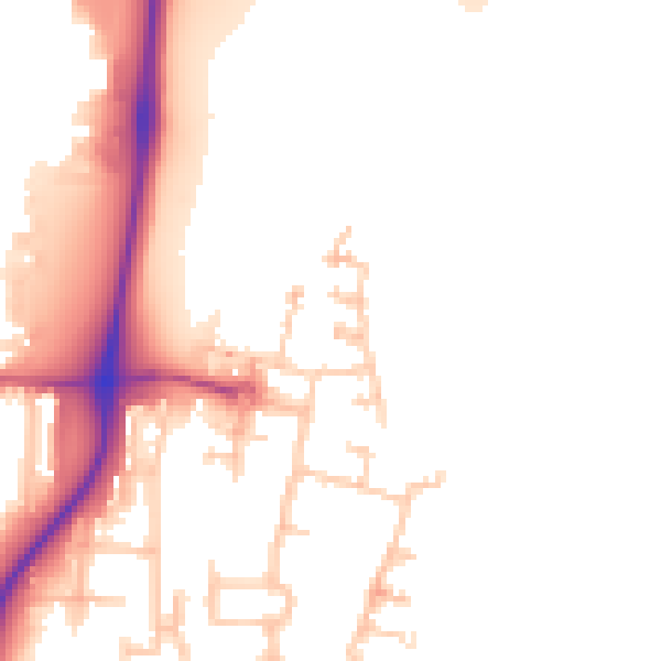
Daytime· 07:00 – 23:00
52.8dB

Night-time· 23:00 – 07:00
45.0dB