37 Carterhatch Road, Enfield, EN3 5LS
About 37 Carterhatch Road
37 Carterhatch Road is a three-bedroom mid-terrace house in Enfield (EN3 5LS). It has a recorded floor area of 80 m² (around 861 sq ft), construction records dating it to 1900-1929 and council tax band D. The latest certificate (April 2023) shows an F (score 29), near the bottom of the EPC scale. The recommended improvements would lift it to C (score 73), a 3-band jump. Main heating runs on electricity.
On energy efficiency it sits in the bottom 10% of properties in this postcode — significant headroom for improvement. Today's modelled estimate of £475,000 is 14.5% above the 2023 sale price. On a £-per-square-foot basis, the last sale (£482/sq ft) was about 128.1% above the typical sold price in the postcode. Last sale on file: £415,000 in August 2023.
What this property has
Inside
- Bedrooms3
- Bathrooms1
Outside
- Private gardenSouth-facing
Building
- Heating systemElectric
- RefurbishedYes
Everything you need to know about 37 Carterhatch Road
The true value, the hidden risks and the full sale history, in one report.
30-day money-back guarantee

The data behind every report


Energy performance
37 Carterhatch Road sits at the bottom of the postcode for energy efficiency — meaningful headroom to improve.
EPC Rating
Planning history
37 Carterhatch Road has no planning applications on record.
Notable planning nearby
24applications of note in the surrounding area
We flagged 2 things worth checking at 37 Carterhatch Road
Independent checks surfaced things a buyer would want to understand before offering. The report explains each one in full, with the underlying data and what to ask.
- Signs of HMO activity in the area
- Larger development activity nearby
30-day money-back guarantee
Sales history & valuation
37 Carterhatch Road valuation sits well clear of the typical sold price in this postcode.
£475,000
Modelled from EPC, postcode comparables.
£415,000
Recorded with HM Land Registry.
Sales timeline
3 August 2023Most recent
£415,000
Median price across the last 5 sales in EN3 5LS: £480,000 (2024–2022).
Nearby sales in EN3 5LS
Versus other Carterhatch Road homes
EPC Rating for 37 Carterhatch Road lags the street by a wide margin.
Price per m²
£5,188
Street avg £3,141
Floor Area
80 m²
Street avg 99 m²
Habitable Rooms
4 rooms
Street avg 5 rooms
CO₂ Emissions
9.3 t/year
Street avg 3.9 t/year
Everything you need to know about 37 Carterhatch Road
The true value, the hidden risks and the full sale history, in one report.
30-day money-back guarantee
The data behind every report
Similar properties nearby
The neighbourhood at a glance
Reported crime in the wider district is trending notably upward year-on-year.
Crime
8/mo
Rising year-on-year across the wider district.
Nearest stop
0.1 km
Carterhatch Lane (EN3) — bus stop.
Closest school
0.3 km
St James CofE Primary School. 43 schools nearby.
Go deeper on the local area
The full report breaks down crime, transport links, schools and air quality in depth.
Road noise across the postcode
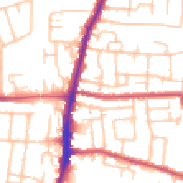
Daytime· 07:00 – 23:00
52.4dB

Night-time· 23:00 – 07:00
41.0dB