99 Clarence Road, Enfield, EN3 4BL
About 99 Clarence Road
99 Clarence Road is a three-bedroom detached house in Enfield (EN3 4BL). It has a recorded floor area of 67 m² (around 721 sq ft), construction records dating it to 1967-1975 and council tax band C. At 67 m² this is the 6th smallest of 21 units on EPC record in the building, where floor areas span 39–75 m². The building's EPC ratings span E to C across 21 units on file. The latest certificate (December 2016) shows a D (score 68), on the cusp of jumping into the C band. The recommended improvements would push it to C (score 78).
Across 2002–2018, sale prices on this property compounded at 11.7% per year. On a £-per-square-foot basis, the last sale (£364/sq ft) was about 73.9% above the typical sold price in the postcode. 8 years since the last transfer (February 2018).
What this property has
Inside
- Bedrooms3
- Bathrooms1
Outside
- Private gardenYes
Building
- Heating systemGas
Everything you need to know about 99 Clarence Road
The true value, the hidden risks and the full sale history, in one report.
30-day money-back guarantee

The data behind every report


Energy performance
EPC Rating
Planning history
99 Clarence Road has no planning applications on record.
Notable planning nearby
39applications of note in the surrounding area
We flagged 1 thing worth checking at 99 Clarence Road
Independent checks surfaced things a buyer would want to understand before offering. The report explains each one in full, with the underlying data and what to ask.
- Signs of HMO activity in the area
30-day money-back guarantee
Sales history & valuation
Price for 99 Clarence Road has grown more than fourfold since the 2002 starting point.
£285,000
Modelled from EPC, postcode comparables and a sale-price growth of 11.7% per year over 15 years.
£262,500
Growth on file: 11.7% per year over 15 years.
Sales timeline
9 February 2018Most recent
£262,500
+67.7%over 11 years9 November 2006
£156,500
+233.0%over 4 years11 August 2002
£47,000
Median price across the last 5 sales in EN3 4BL: £247,500 (2021–2018).
Nearby sales in EN3 4BL
Versus other Clarence Road homes
Price per m² for 99 Clarence Road runs comfortably ahead of the street norm.
Price per m²
£3,918
Street avg £3,415
Floor Area
67 m²
Street avg 66 m²
Habitable Rooms
4 rooms
Street avg 3 rooms
CO₂ Emissions
2.6 t/year
Street avg 3.1 t/year
Everything you need to know about 99 Clarence Road
The true value, the hidden risks and the full sale history, in one report.
30-day money-back guarantee
The data behind every report
Similar properties nearby
The neighbourhood at a glance
Rail-style transport is unusually close for this postcode.
Crime
8/mo
Rising year-on-year across the wider district.
Nearest stop
0.2 km
Lincoln Road Ponders End — bus stop.
Closest school
0.3 km
Heron Hall Academy. 46 schools nearby.
Go deeper on the local area
The full report breaks down crime, transport links, schools and air quality in depth.
Road noise across the postcode
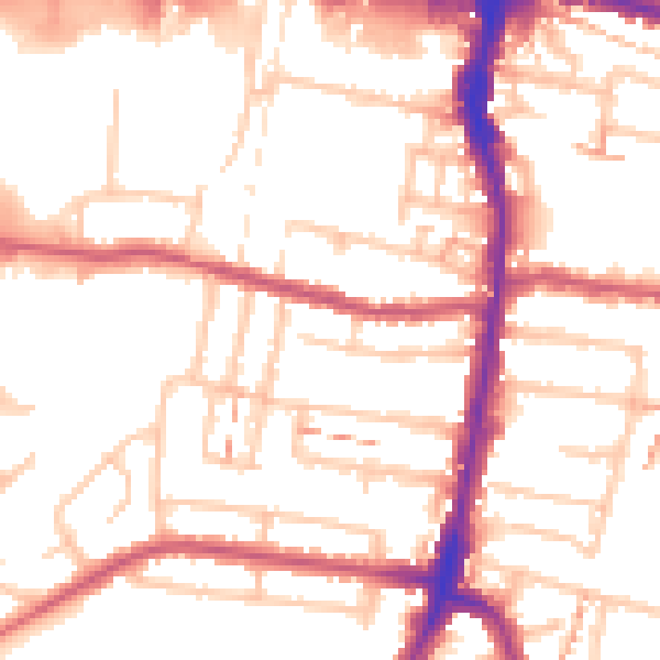
Daytime· 07:00 – 23:00
53.0dB

Night-time· 23:00 – 07:00
42.3dB