41a, Derby Road, Enfield, EN3 4AJ
About 41a
41a is a three-bedroom detached house in Enfield (EN3 4AJ). It has a recorded floor area of 111 m² (around 1195 sq ft), construction records dating it to 1967-1975 and council tax band E. The latest certificate (January 2024) shows an E (score 53), well below the UK norm with real room to improve. The rating has held steady at E across 2 certificates since September 2009. Between certificates, hot-water efficiency went from Average to Good and lighting went from Poor to Very Good; while wall efficiency dropped from Average to Poor and roof efficiency dropped from Average to Very Poor. The recommended improvements would lift it to C (score 76), a 2-band jump.
At 111 m² the property is well over the postcode median (68 m² across 23 EPCs), placing it in the larger end of the local stock. It lags the bulk of the postcode on energy efficiency (less efficient than 74% of similar EPCs). Across 2009–2024, sale prices on this property compounded at 4.7% per year. On a £-per-square-foot basis, the last sale (£409/sq ft) was about 29.4% above the typical sold price in the postcode. Sold July 2024 for £489,000.
What this property has
Inside
- Bedrooms3
- Bathrooms2
- Dining roomYes
- CloakroomYes
- EnsuiteYes
Outside
- Private gardenRear
- GarageIntegral
Everything you need to know about 41a
The true value, the hidden risks and the full sale history, in one report.
30-day money-back guarantee

The data behind every report


Energy performance
41a's carbon output runs well above what efficient homes in the postcode produce.
EPC Rating
Property Improvements
Changes detected from historical EPC data
Hot water system upgraded
Windows upgraded, improving insulation
More low energy lighting installed
Planning history
41a has no planning applications on record.
Notable planning nearby
39applications of note in the surrounding area
We flagged 1 thing worth checking at 41a
Independent checks surfaced things a buyer would want to understand before offering. The report explains each one in full, with the underlying data and what to ask.
- Signs of HMO activity in the area
30-day money-back guarantee
Sales history & valuation
41a valuation sits well clear of the typical sold price in this postcode.
£511,000
Modelled from EPC, postcode comparables and a sale-price growth of 4.7% per year over 15 years.
£489,000
Growth on file: 4.7% per year over 15 years.
Sales timeline
23 July 2024Most recent
£489,000
+47.1%over 10 years21 March 2014
£332,500
+33.0%over 4 years17 November 2009
£250,000
Median price across the last 5 sales in EN3 4AJ: £365,000 (2024–2022).
Versus other Derby Road homes
41a outperforms the street on price per m² by a wide margin.
Price per m²
£4,405
Street avg £4,178
Floor Area
111 m²
Street avg 125 m²
Habitable Rooms
5 rooms
Street avg 6 rooms
CO₂ Emissions
6.1 t/year
Street avg 5.7 t/year
Everything you need to know about 41a
The true value, the hidden risks and the full sale history, in one report.
30-day money-back guarantee
The data behind every report
Similar properties nearby
The neighbourhood at a glance
Rail-style transport is unusually close for this postcode.
Crime
8/mo
Rising year-on-year across the wider district.
Nearest stop
0.2 km
Lincoln Road Ponders End — bus stop.
Closest school
0.1 km
Heron Hall Academy. 46 schools nearby.
Go deeper on the local area
The full report breaks down crime, transport links, schools and air quality in depth.
Road noise across the postcode
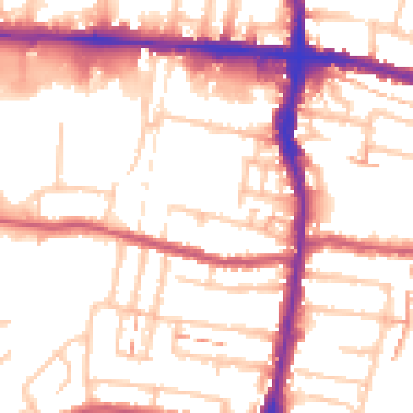
Daytime· 07:00 – 23:00
54.1dB

Night-time· 23:00 – 07:00
43.6dB