43b, Derby Road, Enfield, EN3 4AJ
About 43b
43b is a property in Enfield (EN3 4AJ). It has a recorded floor area of 74 m² (around 797 sq ft) and construction records dating it to 2022. The latest certificate (March 2022) returns a high B (score 85), putting the home a stone's throw from an A rating.
On energy efficiency it sits in the top 10% of properties in this postcode. Across 2019–2022, sale prices on this property compounded at 14.1% per year. Today's modelled estimate of £404,000 is 10.7% above the 2022 sale price. On a £-per-square-foot basis, the last sale (£458/sq ft) was about 49.1% above the typical sold price in the postcode. Most recent transfer: September 2022 at £365,000. That sale was during the post-pandemic price surge, when transactions cleared materially above pre-2020 trend.
Everything you need to know about 43b
The true value, the hidden risks and the full sale history, in one report.
30-day money-back guarantee

The data behind every report


Energy performance
43b ranks among the most efficient homes in the postcode for energy use.
EPC Rating
Planning history
43b has no planning applications on record.
Notable planning nearby
39applications of note in the surrounding area
We flagged 1 thing worth checking at 43b
Independent checks surfaced things a buyer would want to understand before offering. The report explains each one in full, with the underlying data and what to ask.
- Signs of HMO activity in the area
30-day money-back guarantee
Sales history & valuation
The latest sale landed in the post-pandemic price surge — useful context when reading the figure.
£404,000
Modelled from EPC, postcode comparables and a sale-price growth of 14.1% per year over 4 years.
£365,000
Growth on file: 14.1% per year over 4 years.
Sales timeline
22 September 2022Most recent
£365,000
+62.2%over 3 years18 January 2019
£225,000
Median price across the last 5 sales in EN3 4AJ: £400,000 (2024–2022).
Versus other Derby Road homes
On epc rating, 43b stands well clear of the street.
Price per m²
£4,932
Street avg £3,391
Floor Area
74 m²
Street avg 65 m²
CO₂ Emissions
0.9 t/year
Street avg 3.4 t/year
Years Held
4 years
Street avg 13 years
Everything you need to know about 43b
The true value, the hidden risks and the full sale history, in one report.
30-day money-back guarantee
The data behind every report
Similar properties nearby
The neighbourhood at a glance
Rail-style transport is unusually close for this postcode.
Crime
8/mo
Rising year-on-year across the wider district.
Nearest stop
0.2 km
Lincoln Road Ponders End — bus stop.
Closest school
0.1 km
Heron Hall Academy. 46 schools nearby.
Go deeper on the local area
The full report breaks down crime, transport links, schools and air quality in depth.
Road noise across the postcode
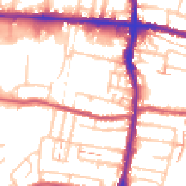
Daytime· 07:00 – 23:00
54.1dB

Night-time· 23:00 – 07:00
43.6dB