5 Clydesdale Walk, Broxbourne, EN10 6BP
About 5 Clydesdale Walk
5 Clydesdale Walk is a three-bedroom mid-terrace house in Broxbourne (EN10 6BP). It has a recorded floor area of 85 m² (around 915 sq ft), construction records dating it to 1976-1982 and council tax band D. The latest certificate (February 2026) shows a C (score 74). The recommended improvements would push it to B (score 84). This certificate was lodged in the last six months, so the rating reflects current condition.
Untraded for 20 years, with the last transfer in July 2006. Across 1999–2006, sale prices on this property compounded at 9.9% per year. Today's modelled estimate of £500,000 sits 168.8% above the 2006 sale of £186,000. On a £-per-square-foot basis, the last sale (£203/sq ft) was about 52.6% below the postcode norm.
What this property has
Inside
- Bedrooms3
- CloakroomYes
Outside
- Private gardenYes
Building
- Central heatingYes
Everything you need to know about 5 Clydesdale Walk
The true value, the hidden risks and the full sale history, in one report.
30-day money-back guarantee

The data behind every report


Energy performance
The EPC has just been inspected, so the rating reflects current condition.
EPC Rating
Planning history
5 Clydesdale Walk has no planning applications on record.
Notable planning nearby
8applications of note in the surrounding area
We flagged 1 thing worth checking at 5 Clydesdale Walk
Independent checks surfaced things a buyer would want to understand before offering. The report explains each one in full, with the underlying data and what to ask.
- Larger development activity nearby
30-day money-back guarantee
Sales history & valuation
5 Clydesdale Walk's modelled value sits at over four times its earliest registered sale price (1999).
£500,000
Modelled from EPC, postcode comparables and a sale-price growth of 9.9% per year over 7 years.
£186,000
Growth on file: 9.9% per year over 7 years.
Sales timeline
2 July 2006Most recent
£186,000
+86.0%over 6 years15 December 1999
£100,000
Median price across the last 5 sales in EN10 6BP: £307,000 (2025–2007).
Versus other Clydesdale Walk homes
Price per m² for 5 Clydesdale Walk lags the street by a wide margin.
Price per m²
£2,188
Street avg £5,818
Floor Area
85 m²
Street avg 79 m²
Habitable Rooms
4 rooms
Street avg 4 rooms
CO₂ Emissions
2.3 t/year
Street avg 2.5 t/year
Everything you need to know about 5 Clydesdale Walk
The true value, the hidden risks and the full sale history, in one report.
30-day money-back guarantee
The data behind every report
Similar properties nearby
1 Elgin Road
EN10 6JQ
1 De Burgh Close
EN10 6GL
1 Academia Avenue
EN10 6FW
1 Farriers End
EN10 6BS
1 Cedrus Close
EN10 6GA
1 Broomfield Avenue
EN10 6AX
1 Arrow Yard, Old Nazeing Road
EN10 6RX
1 Columbia Road
EN10 6FR
The neighbourhood at a glance
Crime
3/mo
Steady year-on-year across the wider district.
Nearest stop
0.2 km
Bulls Head PH — bus stop.
Closest school
0.2 km
Longlands Primary School and Nursery. 19 schools nearby.
Go deeper on the local area
The full report breaks down crime, transport links, schools and air quality in depth.
Road noise across the postcode
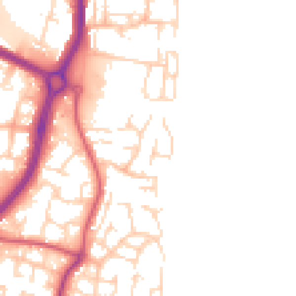
Daytime· 07:00 – 23:00
50.5dB

Night-time· 23:00 – 07:00
42.0dB