42 Grant Street, Newham, London, E13 0ET
About 42 Grant Street
42 Grant Street is a one-bedroom property in Newham, London, London (E13 0ET). It has council tax band B.
It hasn't traded since September 2007, a hold of 19 years that's notably long for the area. That sale landed at the peak of the pre-credit-crunch market, which is a useful reference point when interpreting the price.
Know exactly what you're buying at 42 Grant Street
Before you offer, see what the listing won't tell you, the true value, the red flags and the full history.
Already flagged here
Valuation
against the asking price
Risks
planning & flood
Sold prices
similar homes nearby
Trends
the local market
What this property has
Inside
- Bedrooms1
Building
- Heating systemGas
Energy performance
No EPC on record
This property doesn't have an Energy Performance Certificate yet. An EPC is required to sell or let — and unlocks our automated valuation.
Planning history
42 Grant Street has no planning applications on record.
Notable planning nearby
8applications of note in the surrounding area
We flagged 1 thing worth checking at 42 Grant Street
Independent checks surfaced things a buyer would want to understand before offering. The report explains each one in full, with the underlying data and what to ask.
- Signs of HMO activity in the area
30-day money-back guarantee
Sales history & valuation
The latest sale landed at the peak of the pre-credit-crunch market — a high-water reference point.
£149,000
Recorded with HM Land Registry.
Sales timeline
13 September 2007Most recent
£149,000
Median price across the last 5 sales in E13 0ET: £230,000 (2025–2016).
Nearby sales in E13 0ET
4 Grant Street, Newham, London, E13 0ET
Sold Feb 2025
£220,00013 Grant Street, Newham, London, E13 0ET
Sold Sept 2021
£382,00056 Grant Street, Newham, London, E13 0ET
Sold Jul 2019
£226,00028 Grant Street, Newham, London, E13 0ET
Sold Jul 2017
£240,00074 Grant Street, Newham, London, E13 0ET
Sold Nov 2016
£230,000
Everything we know about 42 Grant Street, in one report
What it's really worth, what could be wrong, and the planning, sales and area data in full.
What we flagged
- Signs of HMO activity in the area

Similar properties nearby
1 Juliette Road, Newham
E13 0DL
1 Grasmere Road, Newham
E13 0BA
1 Fothergill Close, Newham
E13 0LJ
1 Dongola Road, Newham
E13 0AY
1 Grange Road, Newham
E13 0EE
1 Given Wilson Walk, Newham
E13 0EB
1 Clegg Street, Newham
E13 0HY
1 Claude Road, Newham
E13 0QB
The neighbourhood at a glance
Rail-style transport is unusually close for this postcode.
Crime
7/mo
Rising year-on-year across the wider district.
Nearest stop
0.1 km
Upper Road / Grange Road — bus stop.
Closest school
0.2 km
Grange Primary School. 91 schools nearby.
Go deeper on the local area
The full report breaks down crime, transport links, schools and air quality in depth.
Road noise across the postcode
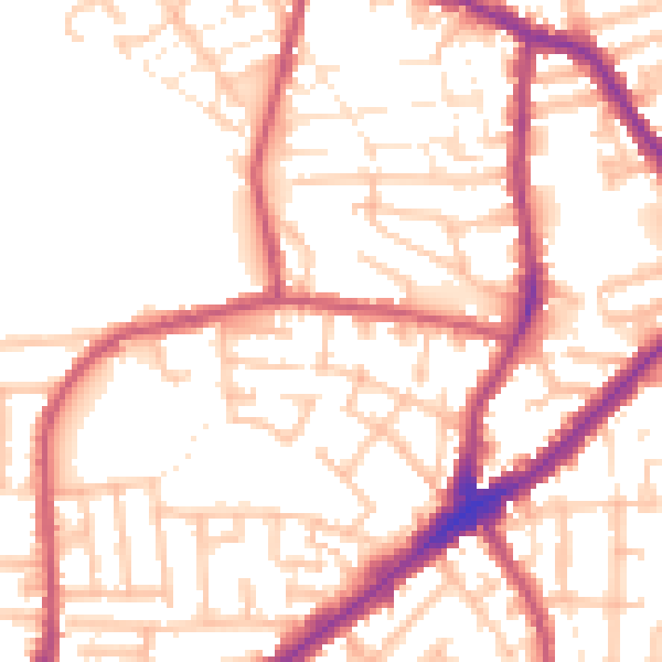
Daytime· 07:00 – 23:00
53.9dB

Night-time· 23:00 – 07:00
43.6dB