Shaftesbury Point, Flat 49, High Street, Newham, London, E13 0AB
About Shaftesbury Point
Shaftesbury Point is a one-bedroom property in Newham, London, London (E13 0AB). It has council tax band A. Other recorded features include a balcony and notable views.
Held since September 2007 — that's 19 years off the open market, well above the local norm. That sale landed at the peak of the pre-credit-crunch market, which is a useful reference point when interpreting the price. Across 2003–2007, sale prices on this property compounded at 9.4% per year.
Know exactly what you're buying at Shaftesbury Point
Before you offer, see what the listing won't tell you, the true value, the red flags and the full history.
Already flagged here
Valuation
against the asking price
Risks
planning & flood
Sold prices
similar homes nearby
Trends
the local market
What this property has
Inside
- Bedrooms1
Outside
- BalconyYes
- Notable viewsYes
Building
- Central heatingYes
- ConciergeYes
Energy performance
No EPC on record
This property doesn't have an Energy Performance Certificate yet. An EPC is required to sell or let — and unlocks our automated valuation.
Planning history
Shaftesbury Point has no planning applications on record.
Notable planning nearby
8applications of note in the surrounding area
We flagged 1 thing worth checking at Shaftesbury Point
Independent checks surfaced things a buyer would want to understand before offering. The report explains each one in full, with the underlying data and what to ask.
- Signs of HMO activity in the area
30-day money-back guarantee
Sales history & valuation
The latest sale landed at the peak of the pre-credit-crunch market — a high-water reference point.
£100,000
Growth on file: 9.4% per year over 4 years.
Sales timeline
11 September 2007Most recent
£100,000
+42.9%over 3 years28 September 2003
£69,995
Median price across the last 5 sales in E13 0AB: £140,000 (2024–2013).
Nearby sales in E13 0AB
Shaftesbury Point, Flat 7, High Street, Newham, London, E13 0AB
Sold Jul 2024
£225,000Shaftesbury Point, Flat 42, High Street, Newham, London, E13 0AB
Sold Dec 2017
£175,000Shaftesbury Point, Flat 11, High Street, Newham, London, E13 0AB
Sold Jul 2013
£90,000Shaftesbury Point, Flat 14, High Street, Newham, London, E13 0AB
Sold Oct 2002
£85,000Shaftesbury Point, Flat 41, High Street, Newham, London, E13 0AB
Sold Apr 1997
£23,000
Everything we know about Shaftesbury Point, in one report
What it's really worth, what could be wrong, and the planning, sales and area data in full.
What we flagged
- Signs of HMO activity in the area

Similar properties nearby
2a, Flat 7, Dundee Road, Newham
E13 0BQ
2a, Flat 8, Dundee Road, Newham
E13 0BQ
128 148, Flat 11, High Street, Newham
E13 0AP
2a, Flat 11, Dundee Road, Newham
E13 0BQ
128 148, Flat 10, High Street, Newham
E13 0AP
215a, Flat 1, Plashet Road, Newham
E13 0QU
230d, Flat 3, Grange Road, Newham
E13 0HB
2a, Flat 6, Dundee Road, Newham
E13 0BQ
The neighbourhood at a glance
Rail-style transport is unusually close for this postcode.
Crime
7/mo
Rising year-on-year across the wider district.
Nearest stop
0.1 km
Balaam Street Plaistow — bus stop.
Closest school
0.3 km
Curwen Primary School. 90 schools nearby.
Go deeper on the local area
The full report breaks down crime, transport links, schools and air quality in depth.
Road noise across the postcode
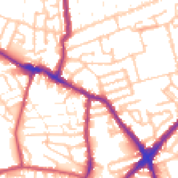
Daytime· 07:00 – 23:00
54.3dB
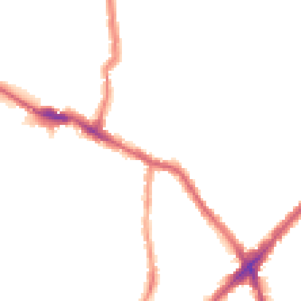
Night-time· 23:00 – 07:00
43.9dB