Flat 2, 34 Burghley Road, London, E11 4QP
About Flat 2
Flat 2 is an end-of-terrace house in London (E11 4QP). It has a recorded floor area of 78 m² (around 840 sq ft) and construction records dating it to 1930-1949. The latest certificate (September 2020) shows a C (score 69), just inside the C band.
At 78 m² it sits well below the postcode median (117 m² across 29 EPCs), making it one of the more compact homes locally.
Know exactly what you're buying at Flat 2
Before you offer, see what the listing won't tell you, the true value, the red flags and the full history.
Already flagged here
Valuation
against the asking price
Risks
planning & flood
Sold prices
similar homes nearby
Trends
the local market
Energy performance
EPC Rating
Planning history
Flat 2 has no planning applications on record.
Notable planning nearby
24applications of note in the surrounding area
We flagged 1 thing worth checking at Flat 2
Independent checks surfaced things a buyer would want to understand before offering. The report explains each one in full, with the underlying data and what to ask.
- Signs of HMO activity in the area
30-day money-back guarantee
Sales history & valuation
Flat 2 has no Land Registry sales on file, suggesting it has stayed in the same hands since registration began.
£473,000
Modelled from EPC, postcode comparables.
No sales recorded with HM Land Registry
That can mean the property has never traded since the registry began publishing in 1995, was a new build that hasn't been registered yet, or is held in the same hands long-term.
Median price across the last 5 sales in E11 4QP: £720,000 (2025–2022).
Nearby sales in E11 4QP
4 Burghley Road, Waltham Forest, London, E11 4QP
Sold May 2025
£880,00028 Burghley Road, Waltham Forest, London, E11 4QP
Sold Sept 2023
£590,00010 Burghley Road, Waltham Forest, London, E11 4QP
Sold Apr 2022
£720,00019 Burghley Road, Waltham Forest, London, E11 4QP
Sold Jan 2022
£825,0001 Burghley Road, Waltham Forest, London, E11 4QP
Sold Aug 2018
£675,000
Everything we know about Flat 2, in one report
What it's really worth, what could be wrong, and the planning, sales and area data in full.
What we flagged
- Signs of HMO activity in the area

Versus other Burghley Road homes
Flat 2 outperforms the street on habitable rooms by a wide margin.
EPC Rating
69 (C)
Street avg 68 (D)
Floor Area
78 m²
Street avg 57 m²
CO₂ Emissions
2.8 t/year
Street avg 2.3 t/year
Habitable Rooms
4 rooms
Street avg 3 rooms
Similar properties nearby
2a, Flat 4, West Street
E11 4LJ
2a, Flat 2, West Street
E11 4LJ
2a, Flat 1, West Street
E11 4LJ
2a, Flat 3, West Street
E11 4LJ
253a, Flat 1, High Road Leytonstone, Waltham Forest
E11 4HH
247a, Flat 1, High Road Leytonstone
E11 4HH
11a, Flat 2, North Birkbeck Road
E11 4JF
11a, Flat 3, North Birkbeck Road
E11 4JF
The neighbourhood at a glance
Rail-style transport is unusually close for this postcode.
Crime
5/mo
Rising year-on-year across the wider district.
Nearest stop
0.1 km
Harvey Road (E11) — bus stop.
Closest school
0.2 km
George Tomlinson Primary School. 56 schools nearby.
Go deeper on the local area
The full report breaks down crime, transport links, schools and air quality in depth.
Road noise across the postcode
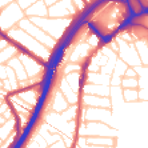
Daytime· 07:00 – 23:00
56.1dB

Night-time· 23:00 – 07:00
46.8dB