Whyalla, Church Street, Haxey, Doncaster, DN9 2HY
About Whyalla
Whyalla is a property in Haxey, Doncaster, Doncaster (DN9 2HY). It has council tax band E.
Untraded for 23 years, with the last transfer in November 2003.
Know exactly what you're buying at Whyalla
Before you offer, see what the listing won't tell you, the true value, the red flags and the full history.
Valuation
against the asking price
Risks
planning & flood
Sold prices
similar homes nearby
Trends
the local market
Energy performance
No EPC on record
This property doesn't have an Energy Performance Certificate yet. An EPC is required to sell or let — and unlocks our automated valuation.
Planning history
Whyalla has no planning applications on record.
The full report still covers planning activity across the surrounding area.
Sales history & valuation
£275,000
Recorded with HM Land Registry.
Sales timeline
7 November 2003Most recent
£275,000
Median price across the last 5 sales in DN9 2HY: £140,000 (2025–2023).
Nearby sales in DN9 2HY
59 Church Street, Haxey, Doncaster, DN9 2HY
Sold Mar 2025
£155,00019 Church Street, Haxey, Doncaster, DN9 2HY
Sold Feb 2025
£400,00047 Church Street, Haxey, Doncaster, DN9 2HY
Sold Jun 2024
£135,00045 Church Street, Haxey, Doncaster, DN9 2HY
Sold Jun 2024
£140,00049 Church Street, Haxey, Doncaster, DN9 2HY
Sold Dec 2022
£110,000
Everything we know about Whyalla, in one report
What it's really worth, what could be wrong, and the planning, sales and area data in full.
- Am I paying too much?
- Is something wrong with it?
- Is the agent's story true?
- Will it hold its value?

Similar properties nearby
1 Blackmoor Road, Haxey
DN9 2HW
1 Croft Cottages, Commonside, Westwoodside
DN9 2AS
1 Fir Leigh, Firth Lane, Wroot
DN9 2BW
1 Dove Court, Carr Lane, Eastlound, Haxey
DN9 2LT
1 Fern Court, Newbigg, Westwoodside
DN9 2AT
1 Eastmoor Villas, Epworth Road, Haxey
DN9 2LH
1 Binks Court, Brethergate, Westwoodside
DN9 2AU
1 Brackenhill Villas, Haxey
DN9 2LS
The neighbourhood at a glance
Daytime road noise here sits well below conversation level — a quiet pocket of the postcode.
Crime
2/mo
Steady year-on-year across the wider district.
Nearest stop
0.3 km
Coop — bus stop.
Closest school
0.7 km
Haxey Cofe Primary Academy. 2 schools nearby.
Go deeper on the local area
The full report breaks down crime, transport links, schools and air quality in depth.
Road noise across the postcode
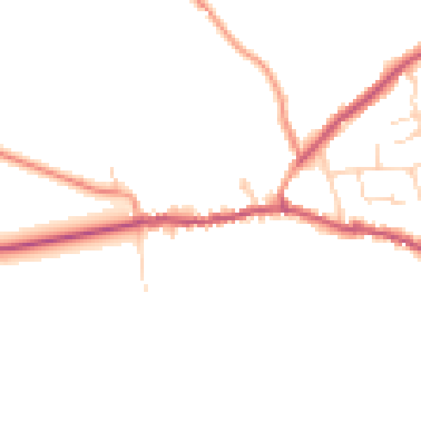
Daytime· 07:00 – 23:00
44.8dB

Night-time· 23:00 – 07:00
38.0dB