4 Kingsway, Scunthorpe, DN17 1BL
About 4 Kingsway
4 Kingsway is a detached house in Scunthorpe (DN17 1BL). It has a recorded floor area of 203 m² (around 2185 sq ft), construction records dating it to 1950-1966 and council tax band E. The latest certificate (May 2019) shows a C (score 71).
At 203 m² the property is well over the postcode median (153 m² across 9 EPCs), placing it in the larger end of the local stock. Its energy rating outperforms most of the postcode (better than 89% of similar EPCs). Most recent transfer was May 2025 at £230,000 — fresh data. Across 1997–2025, sale prices on this property compounded at 3.1% per year. Today's modelled estimate of £317,000 is 37.8% above the 2025 sale price.
Know exactly what you're buying at 4 Kingsway
Before you offer, see what the listing won't tell you, the true value, the red flags and the full history.
Valuation
against the asking price
Risks
planning & flood
Sold prices
similar homes nearby
Trends
the local market
Energy performance
4 Kingsway's carbon output runs well above what efficient homes in the postcode produce.
EPC Rating
Planning history
4 Kingsway has no planning applications on record.
The full report still covers planning activity across the surrounding area.
Sales history & valuation
Sale price has at least doubled since 1997.
£317,000
Modelled from EPC, postcode comparables and a sale-price growth of 3.1% per year over 28 years.
£230,000
Growth on file: 3.1% per year over 28 years.
Sales timeline
29 May 2025Most recent
£230,000
+135.9%over 28 years29 April 1997
£97,500
Median price across the last 5 sales in DN17 1BL: £275,000 (2023–2017).
Everything we know about 4 Kingsway, in one report
What it's really worth, what could be wrong, and the planning, sales and area data in full.
- Am I paying too much?
- Is something wrong with it?
- Is the agent's story true?
- Will it hold its value?

Versus other Kingsway homes
On price per m², 4 Kingsway runs well behind the street norm.
Price per m²
£1,133
Street avg £1,649
Floor Area
203 m²
Street avg 151 m²
Habitable Rooms
7 rooms
Street avg 7 rooms
CO₂ Emissions
6.4 t/year
Street avg 7.3 t/year
Similar properties nearby
The neighbourhood at a glance
Rail-style transport is unusually close for this postcode.
Crime
5/mo
Steady year-on-year across the wider district.
Nearest stop
0.1 km
Lloyds Avenue — bus stop.
Closest school
0.5 km
Bushfield Road Infant School. 30 schools nearby.
Go deeper on the local area
The full report breaks down crime, transport links, schools and air quality in depth.
Road noise across the postcode
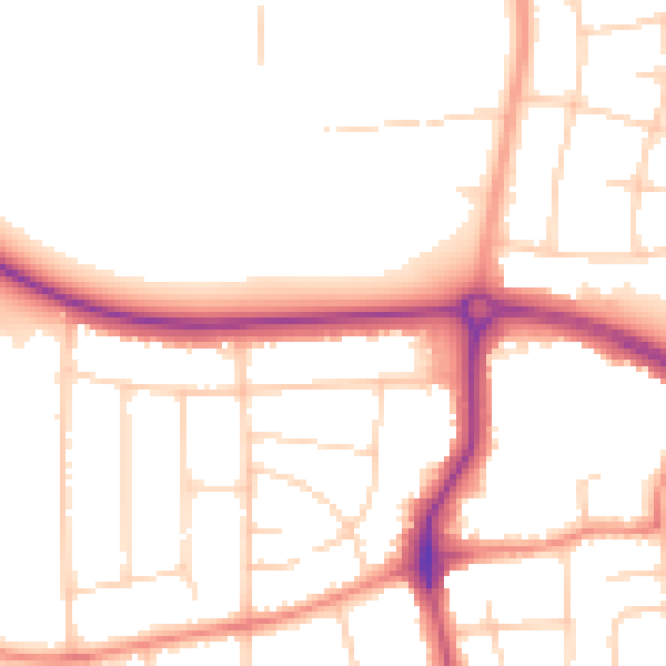
Daytime· 07:00 – 23:00
50.8dB

Night-time· 23:00 – 07:00
41.9dB