36 Hamilton Road, Scunthorpe, DN17 1BB
About 36 Hamilton Road
36 Hamilton Road is a three-bedroom semi-detached house in Scunthorpe (DN17 1BB). It has a recorded floor area of 87 m² (around 936 sq ft), construction records dating it to 1930-1949 and council tax band B. The latest certificate (October 2012) shows an E (score 48), well below the UK norm with real room to improve. The recommended improvements would lift it to B (score 82), a 3-band jump. The latest certificate is from October 2012, so improvements made since then won't be reflected. Period features are noted in the property record. The home occupies a cul-de-sac position.
One planning record on file: an extension approved in 2025. Past consents include an extension, meaningful when judging how the property has evolved. Across 2012–2018, sale prices on this property compounded at 6.1% per year. Today's modelled estimate of £196,000 is 30.7% above the 2018 sale price. On a £-per-square-foot basis, the last sale (£160/sq ft) was about 17.5% above the typical sold price in the postcode. Sold September 2018 for £150,000.
Know exactly what you're buying at 36 Hamilton Road
Before you offer, see what the listing won't tell you, the true value, the red flags and the full history.
Valuation
against the asking price
Risks
planning & flood
Sold prices
similar homes nearby
Trends
the local market
What this property has
Inside
- Bedrooms3
- Bathrooms1
Outside
- Private gardenWest-facing
- GarageYes
- Cul-de-sacYes
Building
- Period featuresYes
- RefurbishedYes
Energy performance
Recommended upgrades on file would lift this property by multiple EPC bands.
EPC Expired
This certificate is over 10 years old and is no longer valid.Expired 03 Oct 2022
EPC Rating
Planning history
Council records include a two-storey side extension at 36 Hamilton Road.
- Feb 2025ExtensionFullIn report
Extension: Two storey · Side of property
Planning permission to erect a double storey side extension
- Documents
- 13 docs on file
- Reference
- PA/2024/1407
What's in 36 Hamilton Road, Scunthorpe, DN17 1BB's planning history?
Refusals, disputes and full decisions on this property and nearby, in the report.
Sales history & valuation
36 Hamilton Road valuation sits well clear of the typical sold price in this postcode.
£196,000
Modelled from EPC, postcode comparables and a sale-price growth of 6.1% per year over 6 years.
£150,000
Growth on file: 6.1% per year over 6 years.
Sales timeline
25 September 2018Most recent
£150,000
+41.5%over 5 years19 November 2012
£106,000
Median price across the last 5 sales in DN17 1BB: £190,000 (2025–2022).
Nearby sales in DN17 1BB
Everything we know about 36 Hamilton Road, in one report
What it's really worth, what could be wrong, and the planning, sales and area data in full.
- Am I paying too much?
- Is something wrong with it?
- Is the agent's story true?
- Will it hold its value?

Versus other Hamilton Road homes
On floor area, 36 Hamilton Road runs well behind the street norm.
Price per m²
£1,724
Street avg £1,612
Floor Area
87 m²
Street avg 93 m²
Habitable Rooms
5 rooms
Street avg 5 rooms
CO₂ Emissions
5.8 t/year
Street avg 6.1 t/year
Similar properties nearby
1 Blake Avenue
DN17 1LU
1 Brumby Grove Cottages, Scotter Road
DN17 1ST
1 Bridport Walk
DN17 1UB
1 Byron Close
DN17 1LX
1 Chelwood Road
DN17 1HB
1 Bodmin Close
DN17 1TW
1 Brumby Hall Gardens
DN17 1BP
1 Atlas Road
DN17 1BZ
The neighbourhood at a glance
Daytime road noise here sits well below conversation level — a quiet pocket of the postcode.
Crime
5/mo
Steady year-on-year across the wider district.
Nearest stop
0.1 km
Peveril Avenue — bus stop.
Closest school
0.3 km
John Leggott Sixth Form College. 29 schools nearby.
Go deeper on the local area
The full report breaks down crime, transport links, schools and air quality in depth.
Road noise across the postcode
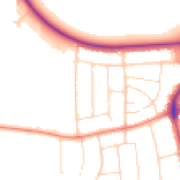
Daytime· 07:00 – 23:00
49.2dB

Night-time· 23:00 – 07:00
40.8dB