7 Dalton Crescent, Durham, DH1 4FB
About 7 Dalton Crescent
7 Dalton Crescent is a four-bedroom end-of-terrace house in Durham (DH1 4FB). It has a recorded floor area of 143 m² (around 1539 sq ft), construction records dating it to 1996-2002 and council tax band E. The latest certificate (June 2017) shows a D (score 67), on the cusp of jumping into the C band. The rating has held steady at D across 2 certificates since June 2017. The recommended improvements would push it to C (score 77). The home occupies a corner plot.
At 143 m² it's 23% larger than the typical home in the postcode (116 m² median across 53 EPCs). On energy efficiency it sits in the bottom 10% of properties in this postcode — significant headroom for improvement. It changed hands recently, sold December 2024 for £350,000. Today's modelled estimate of £393,000 is 12.3% above the 2024 sale price.
What this property has
Inside
- Bedrooms4
- Bathrooms3
Outside
- Private gardenYes
- GarageYes
- Corner plotYes
Building
- RefurbishedYes
Everything you need to know about 7 Dalton Crescent
The true value, the hidden risks and the full sale history, in one report.
Pick your report · every report is £14.99
One time fee only - money back guarantee

The data behind every report


Energy performance
7 Dalton Crescent sits at the bottom of the postcode for energy efficiency — meaningful headroom to improve.
EPC Rating
Get a survey for this property
Level 2 HomeBuyer Report
We've checked 10 risk factors against the available data for this property and believe a Level 2 HomeBuyer Report could be a suitable option for you.
From £595 · Includes VAT
Planning history
7 Dalton Crescent has no planning applications on record.
But the area is active
53 notable applications nearby — larger schemes and conversions that could reshape the street. The report maps them all.
Sales history & valuation
7 Dalton Crescent's sale-price growth has lagged the wider UK trajectory across its history on file.
£393,000
Modelled from EPC, postcode comparables and a sale-price growth of -0.2% per year over 20 years.
£350,000
Growth on file: -0.2% per year over 20 years.
Sales timeline
6 December 2024Most recent
£350,000
-4.1%over 19 years20 December 2004
£365,000
Median price across the last 5 sales in DH1 4FB: £350,000 (2025–2023).
Nearby sales in DH1 4FB
Versus other Dalton Crescent homes
EPC Rating for 7 Dalton Crescent lags the street by a wide margin.
Price per m²
£2,448
Street avg £2,482
Floor Area
143 m²
Street avg 122 m²
Habitable Rooms
7 rooms
Street avg 6 rooms
CO₂ Emissions
5.0 t/year
Street avg 3.2 t/year
Everything you need to know about 7 Dalton Crescent
The true value, the hidden risks and the full sale history, in one report.
Pick your report · every report is £14.99
One time fee only - money back guarantee
The data behind every report
Similar properties nearby
1 Alexandria Crescent, Crossgate Moor
DH1 4EE
1 Briardene
DH1 4QU
1 Brakespear Close
DH1 4BF
1 Dalton Crescent
DH1 4FB
1 Cross Valley Court
DH1 4GD
1 Dli Cottages, Back Western Hill
DH1 4RQ
1 Crossgate Moor Gardens
DH1 4HS
1 Beechcrest
DH1 4QF
The neighbourhood at a glance
Crime
6/mo
Steady year-on-year across the wider district.
Nearest stop
0.1 km
Duke of Wellington — bus stop.
Closest school
0.4 km
Neville's Cross Primary School and Nursery. 10 schools nearby.
Go deeper on the local area
A Local Area report breaks down crime, transport links, schools and air quality in depth.
Road noise across the postcode
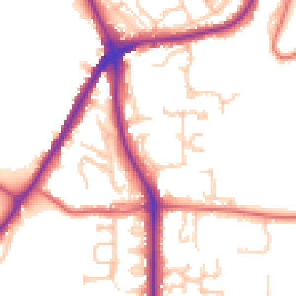
Daytime· 07:00 – 23:00
51.6dB

Night-time· 23:00 – 07:00
42.6dB