74 Swinside Drive, Durham, DH1 1AF
About 74 Swinside Drive
74 Swinside Drive is a three-bedroom semi-detached house in Durham (DH1 1AF). It has a recorded floor area of 101 m² (around 1087 sq ft), construction records dating it to 1950-1966 and council tax band C. The latest certificate (June 2023) shows a D (score 61), on the cusp of jumping into the C band. The rating has held steady at D across 2 certificates since October 2012. Between certificates, wall efficiency dropped from Good to Average and lighting dropped from Very Good to Good. The recommended improvements would push it to C (score 80).
Across 1997–2023, sale prices on this property compounded at 4.6% per year. Today's modelled estimate of £199,000 is 12.4% above the 2023 sale price. On a £-per-square-foot basis, the last sale (£163/sq ft) was about 45.7% above the typical sold price in the postcode. Sold June 2023 for £177,000.
What this property has
Inside
- Bedrooms3
Everything you need to know about 74 Swinside Drive
The true value, the hidden risks and the full sale history, in one report.
Pick your report · every report is £14.99
One time fee only - money back guarantee

The data behind every report


Energy performance
EPC Rating
Get a survey for this property
Level 3 Building Survey
Because the property has been extended more than once, we believe a Level 3 building survey should be considered.
From £820 · Includes VAT
Planning history
74 Swinside Drive has no planning applications on record.
But the area is active
72 notable applications nearby — larger schemes and conversions that could reshape the street. The report maps them all.
Sales history & valuation
74 Swinside Drive has more than tripled in price since its earliest registered sale in 1997.
£199,000
Modelled from EPC, postcode comparables and a sale-price growth of 4.6% per year over 26 years.
£177,000
Growth on file: 4.6% per year over 26 years.
Sales timeline
22 June 2023Most recent
£177,000
+68.6%over 10 years25 January 2013
£105,000
+91.1%over 15 years21 August 1997
£54,950
Median price across the last 5 sales in DH1 1AF: £169,995 (2025–2023).
Versus other Swinside Drive homes
Years Held for 74 Swinside Drive lags the street by a wide margin.
Price per m²
£1,752
Street avg £1,419
Floor Area
101 m²
Street avg 102 m²
Habitable Rooms
5 rooms
Street avg 5 rooms
CO₂ Emissions
5.0 t/year
Street avg 4.3 t/year
Everything you need to know about 74 Swinside Drive
The true value, the hidden risks and the full sale history, in one report.
Pick your report · every report is £14.99
One time fee only - money back guarantee
The data behind every report
Similar properties nearby
The neighbourhood at a glance
Crime
6/mo
Steady year-on-year across the wider district.
Nearest stop
0.2 km
High Street — bus stop.
Closest school
0.6 km
Belmont CofE (Controlled) Primary School. 14 schools nearby.
Go deeper on the local area
A Local Area report breaks down crime, transport links, schools and air quality in depth.
Road noise across the postcode
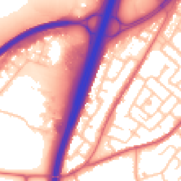
Daytime· 07:00 – 23:00
58.4dB

Night-time· 23:00 – 07:00
49.1dB