17 Lawrence Avenue, Breaston, Derby, DE72 3BY
About 17 Lawrence Avenue
17 Lawrence Avenue is a three-bedroom semi-detached house in Breaston, Derby, Derby (DE72 3BY). It has a recorded floor area of 76 m² (around 818 sq ft), construction records dating it to 1930-1949 and council tax band B. The latest certificate (November 2015) shows a D (score 60), on the cusp of jumping into the C band. The rating has held steady at D across 2 certificates since July 2011. Between certificates, roof efficiency dropped from Very Good to Good. The recommended improvements would lift it to B (score 85), a 2-band jump. The latest certificate is from November 2015, so improvements made since then won't be reflected. Other recorded features include a conservatory.
Across 2006–2015, sale prices on this property compounded at 1.9% per year. Today's modelled estimate of £251,000 sits 56.9% above the 2015 sale of £159,950. Last changed hands 10 years ago, in December 2015.
What this property has
Inside
- Bedrooms3
- Bathrooms1
- Dining roomYes
- EnsuiteYes
- ConservatoryYes
Outside
- Private gardenRear
- ParkingOff road
Everything you need to know about 17 Lawrence Avenue
The true value, the hidden risks and the full sale history, in one report.
Pick your report · every report is £14.99
One time fee only - money back guarantee

The data behind every report


Energy performance
Recommended upgrades on file would lift this property by multiple EPC bands.
EPC Expired
This certificate is over 10 years old and is no longer valid.Expired 15 Nov 2025
EPC Rating
Get a survey for this property
Level 3 Building Survey
Because the property has solid (non-cavity) walls, we believe a Level 3 building survey should be considered.
From £885 · Includes VAT
Planning history
17 Lawrence Avenue has no planning applications on record.
But the area is active
1 notable application nearby — larger schemes and conversions that could reshape the street. The report maps them all.
Sales history & valuation
17 Lawrence Avenue changed hands twice within eighteen months — unusual for the area.
£251,000
Modelled from EPC, postcode comparables and a sale-price growth of 1.9% per year over 9 years.
£159,950
Growth on file: 1.9% per year over 9 years.
Sales timeline
21 December 2015Most recent
£159,950
+12.6%over 1 year14 August 2014
£142,000
+5.2%over 7 years15 December 2006
£135,000
Median price across the last 5 sales in DE72 3BY: £232,000 (2025–2023).
Nearby sales in DE72 3BY
35 Lawrence Avenue, Breaston, Derby, DE72 3BY
Sold Apr 2025
£190,0001 Lawrence Avenue, Breaston, Derby, DE72 3BY
Sold Nov 2024
£258,00015 Lawrence Avenue, Breaston, Derby, DE72 3BY
Sold Oct 2024
£245,0007 Lawrence Avenue, Breaston, Derby, DE72 3BY
Sold Sept 2024
£232,00019 Lawrence Avenue, Breaston, Derby, DE72 3BY
Sold Jan 2023
£215,000
Versus other Lawrence Avenue homes
17 Lawrence Avenue is notably below the street on habitable rooms.
Price per m²
£2,105
Street avg £2,424
Floor Area
76 m²
Street avg 80 m²
Habitable Rooms
4 rooms
Street avg 5 rooms
CO₂ Emissions
4.1 t/year
Street avg 4.3 t/year
Everything you need to know about 17 Lawrence Avenue
The true value, the hidden risks and the full sale history, in one report.
Pick your report · every report is £14.99
One time fee only - money back guarantee
The data behind every report
Similar properties nearby
1 Belle Vue Terrace, Borrowash
DE72 3LF
1 Belmont Drive, Borrowash
DE72 3GW
1 Albert Road, Breaston
DE72 3DL
1 Belmont Avenue, Breaston
DE72 3AA
1 Anne Potter Close, Ockbrook
DE72 3TD
1 Borrowfield, Borrowash
DE72 3LB
1 Blind Lane, Breaston
DE72 3DW
1 Appian Close, Borrowash
DE72 3LY
The neighbourhood at a glance
Daytime road noise here sits well below conversation level — a quiet pocket of the postcode.
Crime
3/mo
Steady year-on-year across the wider district.
Nearest stop
0.2 km
The Navigation — bus stop.
Closest school
0.6 km
Firfield Primary School. 13 schools nearby.
Go deeper on the local area
A Local Area report breaks down crime, transport links, schools and air quality in depth.
Road noise across the postcode
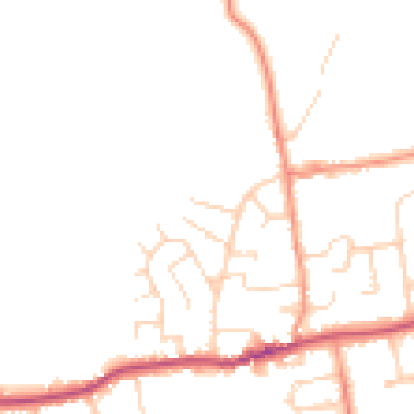
Daytime· 07:00 – 23:00
48.9dB

Night-time· 23:00 – 07:00
40.9dB