19 Alfred Street, Alfreton, DE55 7JD
About 19 Alfred Street
19 Alfred Street is a mid-terrace house in Alfreton (DE55 7JD). It has a recorded floor area of 90 m² (around 969 sq ft), construction records dating it to before 1900 and council tax band A. The latest certificate (March 2014) shows a D (score 65), on the cusp of jumping into the C band. The recommended improvements would lift it to B (score 88), a 2-band jump. The latest certificate is from March 2014, so improvements made since then won't be reflected.
At 90 m² it's 25% larger than the typical home in the postcode (72 m² median across 41 EPCs). Across 2014–2020, sale prices on this property compounded at 1.5% per year. Today's modelled estimate of £161,000 is 46.4% above the 2020 sale price. Sold October 2020 for £110,000.
Everything you need to know about 19 Alfred Street
The true value, the hidden risks and the full sale history, in one report.
30-day money-back guarantee

The data behind every report


Energy performance
Recommended upgrades on file would lift this property by multiple EPC bands.
EPC Expired
This certificate is over 10 years old and is no longer valid.Expired 04 Mar 2024
EPC Rating
Planning history
19 Alfred Street has no planning applications on record.
Notable planning nearby
10applications of note in the surrounding area
We flagged 1 thing worth checking at 19 Alfred Street
Independent checks surfaced things a buyer would want to understand before offering. The report explains each one in full, with the underlying data and what to ask.
- Signs of HMO activity in the area
30-day money-back guarantee
Sales history & valuation
19 Alfred Street saw 3 transfers in just over a decade — high turnover for the postcode.
£161,000
Modelled from EPC, postcode comparables and a sale-price growth of 1.5% per year over 6 years.
£110,000
Growth on file: 1.5% per year over 6 years.
Sales timeline
30 October 2020Most recent
£110,000
-4.3%over 2 years21 June 2018
£115,000
+15.0%over 4 years29 May 2014
£100,000
Median price across the last 5 sales in DE55 7JD: £180,000 (2024–2022).
Nearby sales in DE55 7JD
Versus other Alfred Street homes
On habitable rooms, 19 Alfred Street stands well clear of the street.
Price per m²
£1,222
Street avg £1,816
Floor Area
90 m²
Street avg 75 m²
Habitable Rooms
6 rooms
Street avg 4 rooms
CO₂ Emissions
3.7 t/year
Street avg 3.7 t/year
Everything you need to know about 19 Alfred Street
The true value, the hidden risks and the full sale history, in one report.
30-day money-back guarantee
The data behind every report
Similar properties nearby
The neighbourhood at a glance
Crime
3/mo
Steady year-on-year across the wider district.
Nearest stop
0.0 km
Alfred Street — bus stop.
Closest school
0.3 km
Woodbridge Junior School. 11 schools nearby.
Go deeper on the local area
The full report breaks down crime, transport links, schools and air quality in depth.
Road noise across the postcode
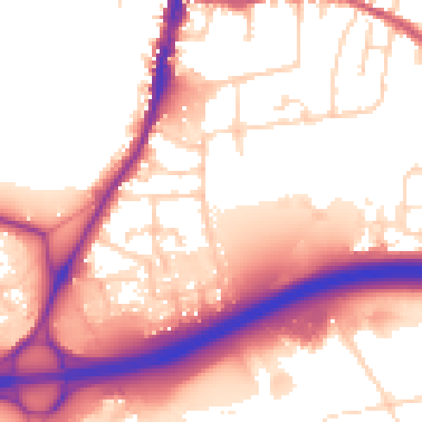
Daytime· 07:00 – 23:00
56.9dB

Night-time· 23:00 – 07:00
49.2dB