11 Alfred Street, Alfreton, DE55 7JD
About 11 Alfred Street
11 Alfred Street is a mid-terrace house in Alfreton (DE55 7JD). It has a recorded floor area of 106 m² (around 1141 sq ft), construction records dating it to 1900-1929 and council tax band A. The latest certificate (August 2020) shows an F (score 34), near the bottom of the EPC scale. The recommended improvements would lift it to C (score 77), a 3-band jump.
At 106 m² the property is well over the postcode median (72 m² across 41 EPCs), placing it in the larger end of the local stock. On energy efficiency it sits in the bottom 10% of properties in this postcode — significant headroom for improvement. Today's modelled estimate of £136,000 sits 109.2% above the 2020 sale of £65,000. On a £-per-square-foot basis, the last sale (£57/sq ft) was about 52% below the postcode norm. Last sale on file: £65,000 in September 2020.
Everything you need to know about 11 Alfred Street
The true value, the hidden risks and the full sale history, in one report.
30-day money-back guarantee

The data behind every report


Energy performance
11 Alfred Street sits at the bottom of the postcode for energy efficiency — meaningful headroom to improve.
EPC Rating
Planning history
11 Alfred Street has no planning applications on record.
Notable planning nearby
10applications of note in the surrounding area
We flagged 1 thing worth checking at 11 Alfred Street
Independent checks surfaced things a buyer would want to understand before offering. The report explains each one in full, with the underlying data and what to ask.
- Signs of HMO activity in the area
30-day money-back guarantee
Sales history & valuation
The latest sale landed in the post-pandemic price surge — useful context when reading the figure.
£136,000
Modelled from EPC, postcode comparables.
£65,000
Recorded with HM Land Registry.
Sales timeline
3 September 2020Most recent
£65,000
Median price across the last 5 sales in DE55 7JD: £180,000 (2024–2022).
Nearby sales in DE55 7JD
Versus other Alfred Street homes
CO₂ Emissions for 11 Alfred Street lags the street by a wide margin.
Price per m²
£613
Street avg £1,836
Floor Area
106 m²
Street avg 74 m²
Habitable Rooms
5 rooms
Street avg 4 rooms
CO₂ Emissions
9.3 t/year
Street avg 3.6 t/year
Everything you need to know about 11 Alfred Street
The true value, the hidden risks and the full sale history, in one report.
30-day money-back guarantee
The data behind every report
Similar properties nearby
The neighbourhood at a glance
Crime
3/mo
Steady year-on-year across the wider district.
Nearest stop
0.0 km
Alfred Street — bus stop.
Closest school
0.3 km
Woodbridge Junior School. 11 schools nearby.
Go deeper on the local area
The full report breaks down crime, transport links, schools and air quality in depth.
Road noise across the postcode
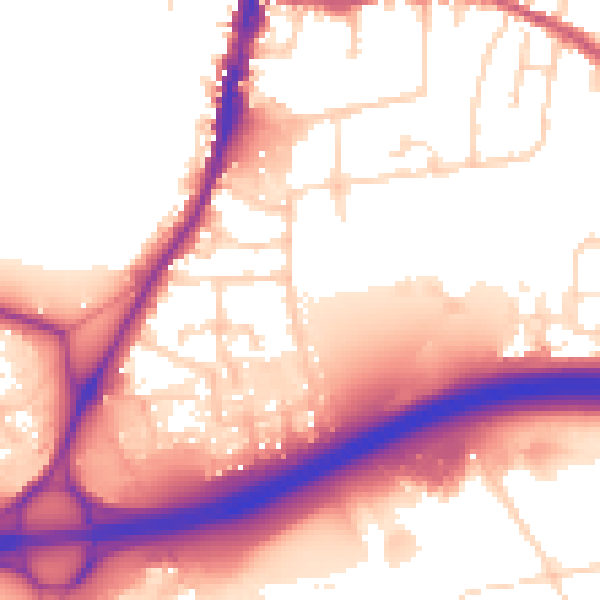
Daytime· 07:00 – 23:00
56.9dB

Night-time· 23:00 – 07:00
49.2dB