12 Gibbet Hill Road, Coventry, CV4 7AJ
About 12 Gibbet Hill Road
12 Gibbet Hill Road is a six-bedroom detached house in Coventry (CV4 7AJ). It has a recorded floor area of 202 m² (around 2170 sq ft), construction records dating it to 1900-1929 and council tax band C. The latest certificate (July 2011) shows a D (score 57), a step below the typical UK home. The latest certificate is from July 2011, so improvements made since then won't be reflected. Other recorded features include attached land beyond the plot.
3 planning records sit against the property, 1 approved, 0 refused. Past consents include an extension, meaningful when judging how the property has evolved. Across 2000–2016, sale prices on this property compounded at 5.5% per year. Today's modelled estimate of £921,000 is 19.6% above the 2016 sale price. On a £-per-square-foot basis, the last sale (£355/sq ft) was about 29.2% above the typical sold price in the postcode. On the market in June 2016 and unlisted since — roughly 10 years. At 202 m² it's 23% smaller than the typical home in the postcode (262 m² median across 17 EPCs). 6 bedrooms is on the larger side for this postcode, where 4 is the typical count.
Know exactly what you're buying at 12 Gibbet Hill Road
Before you offer, see what the listing won't tell you, the true value, the red flags and the full history.
Already flagged here
Valuation
against the asking price
Risks
planning & flood
Sold prices
similar homes nearby
Trends
the local market
What this property has
Inside
- Bedrooms6
- Bathrooms2
- Dining roomYes
Outside
- Private gardenYes
- GarageDouble
- LandYes
Energy performance
12 Gibbet Hill Road's carbon output runs well above what efficient homes in the postcode produce.
EPC Expired
This certificate is over 10 years old and is no longer valid.Expired 10 Jul 2021
EPC Rating
Planning history
- Mar 2017ExtensionFullIn report
Extension: Single storey · Front of property
Erection of single storey front extension including alteration to front and extension to garage at the front and rear (revised submission of approved application ref. HH/2016/1967).
- Documents
- 14 docs on file
- Reference
- HH/2017/0322
- Oct 2016ExtensionFullIn report
Extension: Single storey · Front of property
Erection of single storey front extension including alteration to front and extension to garage at the rear
- Documents
- 19 docs on file
- Reference
- HH/2016/1967
We flagged 1 thing worth checking at 12 Gibbet Hill Road
Independent checks surfaced things a buyer would want to understand before offering. The report explains each one in full, with the underlying data and what to ask.
- Signs of HMO activity in the area
30-day money-back guarantee
Sales history & valuation
12 Gibbet Hill Road has more than doubled in price since the earliest registered sale in 2000.
£921,000
Modelled from EPC, postcode comparables and a sale-price growth of 5.5% per year over 16 years.
£770,000
Growth on file: 5.5% per year over 16 years.
Sales timeline
21 June 2016Most recent
£770,000
+128.7%over 15 years15 December 2000
£336,661
Median price across the last 5 sales in CV4 7AJ: £1,050,000 (2024–2021).
Nearby sales in CV4 7AJ
New Varsity, Gibbet Hill Road, Coventry, CV4 7AJ
Sold Jan 2024
£2,435,00023 Gibbet Hill Road, Coventry, CV4 7AJ
Sold Jul 2023
£1,200,0002 Gibbet Hill Road, Coventry, CV4 7AJ
Sold Aug 2022
£1,050,0004 Gibbet Hill Road, Coventry, CV4 7AJ
Sold Dec 2021
£955,00021 Gibbet Hill Road, Coventry, CV4 7AJ
Sold Nov 2021
£870,000
Everything we know about 12 Gibbet Hill Road, in one report
What it's really worth, what could be wrong, and the planning, sales and area data in full.
What we flagged
- Signs of HMO activity in the area

Versus other Gibbet Hill Road homes
12 Gibbet Hill Road outperforms the street on habitable rooms by a wide margin.
Price per m²
£3,819
Street avg £3,329
Floor Area
202 m²
Street avg 265 m²
Habitable Rooms
11 rooms
Street avg 9 rooms
CO₂ Emissions
9.3 t/year
Street avg 10.2 t/year
Similar properties nearby
The neighbourhood at a glance
Daytime road noise here sits well below conversation level — a quiet pocket of the postcode.
Crime
7/mo
Steady year-on-year across the wider district.
Nearest stop
1.5 km
Crackley — bus stop.
Closest school
1.2 km
Cannon Park Primary School. 11 schools nearby.
Go deeper on the local area
The full report breaks down crime, transport links, schools and air quality in depth.
Road noise across the postcode
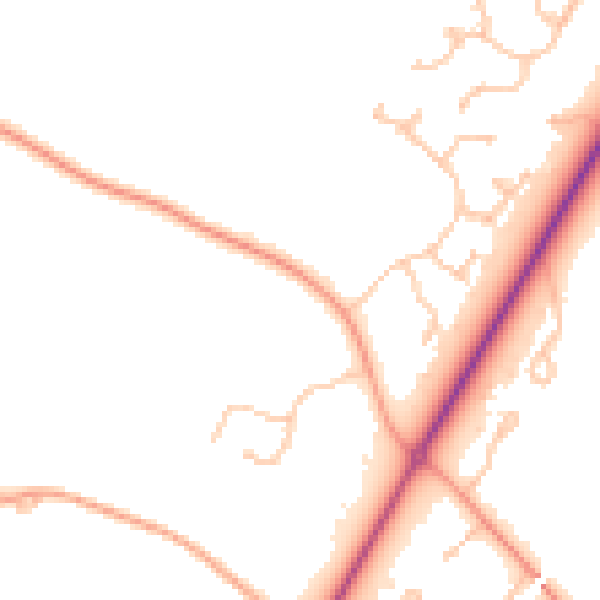
Daytime· 07:00 – 23:00
47.5dB

Night-time· 23:00 – 07:00
39.0dB