7 Brookside Avenue, Wellesbourne, Warwick, CV35 9RZ
About 7 Brookside Avenue
7 Brookside Avenue is a four-bedroom detached house in Wellesbourne, Warwick, Warwick (CV35 9RZ). It has a recorded floor area of 109 m² (around 1173 sq ft), construction records dating it to 1967-1975 and council tax band D. The latest certificate (February 2026) shows a D (score 64), on the cusp of jumping into the C band. The rating has held steady at D across 2 certificates since February 2012. Between certificates, roof efficiency dropped from Good to Average and window efficiency dropped from Good to Poor. The recommended improvements would push it to C (score 80). This certificate was lodged in the last six months, so the rating reflects current condition. Records show the property has been extended at some point in its history. The home occupies a cul-de-sac position.
Held since November 1998 — that's 28 years off the open market, well above the local norm. Only one transfer is on record with HM Land Registry, suggesting it has stayed in the same hands for a long time. Today's modelled estimate of £399,000 sits 333.7% above the 1998 sale of £92,000. On a £-per-square-foot basis, the last sale (£78/sq ft) was about 65.1% below the postcode norm. One historical planning record sits against the property in 2004.
Know exactly what you're buying at 7 Brookside Avenue
Before you offer, see what the listing won't tell you, the true value, the red flags and the full history.
Already flagged here
Launch offer · save £5
Valuation
against the asking price
Risks
planning & flood
Sold prices
similar homes nearby
Trends
the local market
What this property has
Inside
- Bedrooms4
- Dining roomYes
- StudyYes
Outside
- Private gardenrear
- Parkingoff_road
- Cul-de-sacYes
Building
- Heating systemgas
- Previously extendedYes
- RefurbishedYes
Energy performance
The EPC has just been inspected, so the rating reflects current condition.
EPC Rating
Planning history
- Jun 2004PorchFullIn report
Erection of single and two storey pitched roof side extension and porch to front
Extension- Documents
- 3 docs on file
- Reference
- 04/01458/FUL
We flagged 1 thing worth checking at 7 Brookside Avenue
Independent checks surfaced things a buyer would want to understand before offering. The report explains each one in full, with the underlying data and what to ask.
- Larger development activity nearby
30-day money-back guarantee
Sales history & valuation
7 Brookside Avenue's modelled value sits at over four times its earliest registered sale price (1998).
£399,000
Modelled from EPC, postcode comparables.
£92,000
Recorded with HM Land Registry.
Sales timeline
10 November 1998Most recent
£92,000
Median price across the last 5 sales in CV35 9RZ: £413,000 (2021–2018).
Nearby sales in CV35 9RZ
22 Brookside Avenue, Wellesbourne, Warwick, CV35 9RZ
Sold Oct 2021
£445,50020 Brookside Avenue, Wellesbourne, Warwick, CV35 9RZ
Sold Mar 2021
£485,0004 Brookside Avenue, Wellesbourne, Warwick, CV35 9RZ
Sold Nov 2019
£365,00011 Brookside Avenue, Wellesbourne, Warwick, CV35 9RZ
Sold Jan 2019
£275,00012 Brookside Avenue, Wellesbourne, Warwick, CV35 9RZ
Sold Jun 2018
£413,000
Everything we know about 7 Brookside Avenue, in one report
What it's really worth, what could be wrong, and the planning, sales and area data in full.
What we flagged
- Larger development activity nearby

Versus other Brookside Avenue homes
On price per m², 7 Brookside Avenue runs well behind the street norm.
Price per m²
£844
Street avg £2,750
Floor Area
109 m²
Street avg 116 m²
Habitable Rooms
8 rooms
Street avg 6 rooms
CO₂ Emissions
4.1 t/year
Street avg 4.2 t/year
Similar properties nearby
1 Constance Harris Close, Wellesbourne
CV35 9PZ
1 Bristol Way, Wellesbourne
CV35 9TJ
1 Chestnut Grove, Moreton Morrell
CV35 9DG
1, Combrook
CV35 9HP
1 Church Street, Wellesbourne
CV35 9LS
1 Blenheim Walk, Wellesbourne
CV35 9LJ
1 Beaufort Close, Wellesbourne
CV35 9NU
1 Ash Tree Close, Wellesbourne
CV35 9SA
The neighbourhood at a glance
Daytime road noise here sits well below conversation level — a quiet pocket of the postcode.
Crime
1/mo
Steady year-on-year across the wider district.
Nearest stop
0.3 km
Hastings House Medical Centre — bus stop.
Closest school
0.5 km
Wellesbourne CofE Primary School. 1 school nearby.
Go deeper on the local area
The full report breaks down crime, transport links, schools and air quality in depth.
Road noise across the postcode
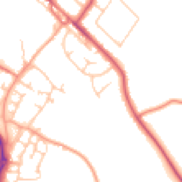
Daytime· 07:00 – 23:00
49.1dB

Night-time· 23:00 – 07:00
40.4dB