49 Charnwood Drive, Hartshill, Nuneaton, CV10 0UE
About 49 Charnwood Drive
49 Charnwood Drive is a three-bedroom semi-detached house in Hartshill, Nuneaton, Nuneaton (CV10 0UE). It has a recorded floor area of 71 m² (around 764 sq ft), construction records dating it to 1967-1975 and council tax band B. The latest certificate (December 2012) shows a D (score 59), a step below the typical UK home. The recommended improvements would lift it to B (score 87), a 2-band jump. The latest certificate is from December 2012, so improvements made since then won't be reflected.
Last sale on file: £179,950 in June 2021. Across the public record there are 4 sales, relatively high churn for a single property. That sale was during the post-pandemic price surge, when transactions cleared materially above pre-2020 trend. One planning record on file: an extension approved in 2020. Past consents include an extension, meaningful when judging how the property has evolved. Across 1996–2021, sale prices on this property compounded at 5.3% per year. Today's modelled estimate of £226,000 is 25.6% above the 2021 sale price. On a £-per-square-foot basis, the last sale (£235/sq ft) was about 45.2% above the typical sold price in the postcode. At 71 m² it's 26% smaller than the typical home in the postcode (96 m² median across 21 EPCs).
Know exactly what you're buying at 49 Charnwood Drive
Before you offer, see what the listing won't tell you, the true value, the red flags and the full history.
Valuation
against the asking price
Risks
planning & flood
Sold prices
similar homes nearby
Trends
the local market
What this property has
Inside
- Bedrooms3
- Bathrooms1
Energy performance
Recommended upgrades on file would lift this property by multiple EPC bands.
EPC Expired
This certificate is over 10 years old and is no longer valid.Expired 11 Dec 2022
EPC Rating
Planning history
49 Charnwood Drive has an approved single-storey extension on the planning record.
- Jun 2020ExtensionIn report
Extension: Single storey
Erection of single storey extension
- Documents
- 11 docs on file
- Reference
- PAP/2020/0230
What's in 49 Charnwood Drive, Hartshill, Nuneaton, CV10 0UE's planning history?
Refusals, disputes and full decisions on this property and nearby, in the report.
Sales history & valuation
Sale price has grown by over 3x since 1996.
£226,000
Modelled from EPC, postcode comparables and a sale-price growth of 5.3% per year over 25 years.
£179,950
Growth on file: 5.3% per year over 25 years.
Sales timeline
29 June 2021Most recent
£179,950
+50.0%over 15 years28 July 2005
£119,950
+53.8%over 3 years24 April 2002
£78,000
+54.5%over 5 years29 November 1996
£50,500
Median price across the last 5 sales in CV10 0UE: £258,000 (2025–2021).
Nearby sales in CV10 0UE
5 Charnwood Drive, Hartshill, Nuneaton, CV10 0UE
Sold Aug 2025
£510,00071 Charnwood Drive, Hartshill, Nuneaton, CV10 0UE
Sold May 2023
£258,00063 Charnwood Drive, Hartshill, Nuneaton, CV10 0UE
Sold Nov 2022
£225,00057 Charnwood Drive, Hartshill, Nuneaton, CV10 0UE
Sold Oct 2021
£180,00091 Charnwood Drive, Hartshill, Nuneaton, CV10 0UE
Sold Sept 2021
£277,500
Everything we know about 49 Charnwood Drive, in one report
What it's really worth, what could be wrong, and the planning, sales and area data in full.
- Am I paying too much?
- Is something wrong with it?
- Is the agent's story true?
- Will it hold its value?

Versus other Charnwood Drive homes
EPC Rating for 49 Charnwood Drive lags the street by a wide margin.
Price per m²
£2,535
Street avg £2,329
Floor Area
71 m²
Street avg 108 m²
Habitable Rooms
5 rooms
Street avg 6 rooms
CO₂ Emissions
3.7 t/year
Street avg 3.9 t/year
Similar properties nearby
1 Ash Drive, Hartshill
CV10 0XL
1 Atherstone Road, Hartshill
CV10 0SP
1 Brookdale Road
CV10 0BL
1 Beech Close, Hartshill
CV10 0XJ
1 Ashbrook Rise
CV10 0UH
1 Brading Road
CV10 0DA
1 Castle Road
CV10 0EN
1 Ansley Hall, Coleshill Road, Ansley Common
CV10 0QG
The neighbourhood at a glance
Reported crime in the wider district is trending notably upward year-on-year.
Crime
5/mo
Rising year-on-year across the wider district.
Nearest stop
0.3 km
Green — bus stop.
Closest school
1.0 km
Michael Drayton Junior School. 11 schools nearby.
Go deeper on the local area
The full report breaks down crime, transport links, schools and air quality in depth.
Road noise across the postcode
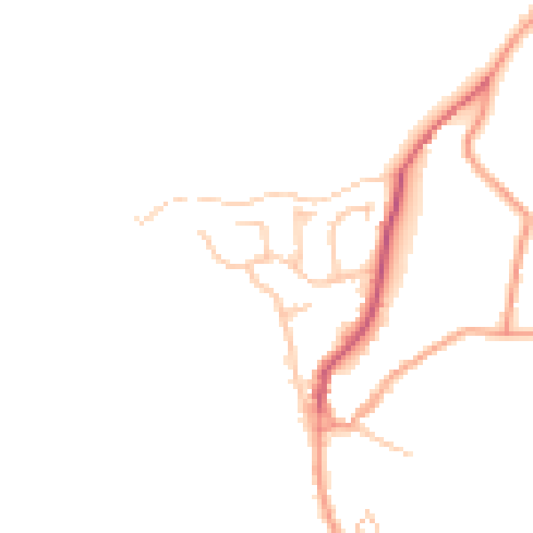
Daytime· 07:00 – 23:00
44.2dB

Night-time· 23:00 – 07:00
37.2dB