Are you a property professional?Get qualified leads from motivated homeowners.
Get started34 Brunswick Court, Hardres Street, Ramsgate, CT11 8QL
About 34 Brunswick Court
A plain-English summary derived from public records, EPC certificates, sold prices and local data.
34 Brunswick Court is a two-bedroom mid-terrace house in Ramsgate (CT11 8QL). It has a recorded floor area of 58 m² (around 624 sq ft), construction records dating it to 1967-1975 and council tax band A. At 58 m² this is the 20th smallest of 40 units on EPC record in the building, where floor areas span 45–89 m². The building's EPC ratings span D to C, with this unit at the top. The latest certificate (October 2024) shows a C (score 72). The rating has held steady at C across 2 certificates since March 2012. Between certificates, wall efficiency dropped from Poor to Very Poor.
It hasn't traded since September 1999, a hold of 27 years that's notably long for the area. Only one transfer is on record with HM Land Registry, suggesting it has stayed in the same hands for a long time. Today's modelled estimate of £136,000 sits 615.8% above the 1999 sale of £19,000. On a £-per-square-foot basis, the last sale (£30/sq ft) was about 76% below the postcode norm.
What this property has
Pulled from EPC certificates, claim submissions and our property model. Empty categories are hidden — we only show what's known.
Inside
- Bedrooms2
- Bathrooms1
Building
- Central heatingYes
Energy performance
Every EPC certificate filed against this property — current rating, recorded improvements, and where there's headroom to reach a higher band.
Current Certificate(1 of 2)
Oct 2024
EPC Rating
A
B
C
C72
D
E
F
G
Main Heating
Gas
Main Fuel
Gas
Hot Water
Good
Windows
Average
CO2 Emissions
2.0 t/year
Occupancy
Owner Occupied
Sales history & valuation
Recorded transactions, our model's current estimate, and a quick read on what neighbouring properties have sold for.
Latest sale on 34 Brunswick Court was the lowest on Land Registry record across the postcode.
Current estimate
See how we calculated this£136,000
Modelled from EPC, postcode comparables.
Last sold (1999)
£19,000
Recorded with HM Land Registry.
Sales timeline
Versus other Hardres Street homes
Four headline reads against 39 similar flats on this street, drawn from the latest EPC and Land Registry data.
Price per m² for 34 Brunswick Court lags the street by a wide margin.
Price per m²
£328
Street avg £1,696
Floor Area
58 m²
Street avg 59 m²
Habitable Rooms
3 rooms
Street avg 3 rooms
Similar properties nearby
A handful of close matches in the same postcode area, ranked by likeness on bedrooms, type and floor area.
The neighbourhood at a glance
A condensed read of the local area. Each tile links through to the full breakdown on the Ramsgate district page.
Crime
4/mo
Steady year-on-year across the wider district.
Nearest stop
0.1 km
School Lane — bus stop.
Road noise across the postcode
Modelled day and night-time noise levels around CT11 8QL from Defra's strategic mapping. The pin marks this postcode's centroid.
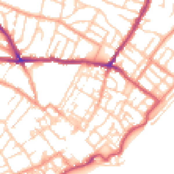
Daytime· 07:00 – 23:00
52.1dB

Everything within walking distance
Schools, transport stops and scenic spots near this property — 51 points of interest in total.
Beautiful places to visit nearby
Curated scenic spots within reach of this postcode, served by Beautifulplaces.ai. Photography and tagging come from their open dataset.
Common questions
The questions buyers, sellers and homeowners most often ask about 34 Brunswick Court, Hardres Street, Ramsgate, CT11 8QL. Each answer is also embedded as structured data for search engines.