Are you a property professional?Get qualified leads from motivated homeowners.
Get started2 Alliance Road, Ramsgate, CT11 8JB
4 sales on record
About 2 Alliance Road
A plain-English summary derived from public records, EPC certificates, sold prices and local data.
2 Alliance Road is a two-bedroom end-of-terrace house in Ramsgate (CT11 8JB). It has a recorded floor area of 72 m² (around 775 sq ft), construction records dating it to before 1900 and council tax band B. Tenure is freehold. The latest certificate (March 2023) shows a D (score 61), on the cusp of jumping into the C band. The rating has held steady at D across 2 certificates since March 2013. Between certificates, roof efficiency went from Average to Good, window efficiency went from Average to Good and lighting went from Average to Very Good. The recommended improvements would lift it to B (score 87), a 2-band jump.
Sale prices here have outpaced England HPI: 9.1% per year against 0% for the wider region. On a £-per-square-foot basis, the last sale (£326/sq ft) was about 116.2% above the typical sold price in the postcode. Sold May 2023 for £253,000. Across the public record there are 4 sales, relatively high churn for a single property.
What this property has
Pulled from EPC certificates, claim submissions and our property model. Empty categories are hidden — we only show what's known.
Inside
- Bedrooms2
- Bathrooms1
Building
- TenureFreehold
- Central heating
Energy performance
Every EPC certificate filed against this property — current rating, recorded improvements, and where there's headroom to reach a higher band.
Recommended upgrades on file would lift this property by multiple EPC bands.
Current Certificate(1 of 2)
Mar 2023
EPC Rating
A
B
C
D
D61
E
F
G
Main Heating
Gas
Main Fuel
Gas
Hot Water
Good
Windows
Good
CO2 Emissions
3.6 t/year
Occupancy
Owner Occupied
Sales history & valuation
Recorded transactions, our model's current estimate, and a quick read on what neighbouring properties have sold for.
Price for 2 Alliance Road has grown more than fourfold since the 1999 starting point.
Current estimate
See how we calculated this£244,000
Modelled from EPC, postcode comparables and a sale-price growth of 9.1% per year over 24 years.
Last sold (2023)
£253,000
Growth on file: 9.1% per year over 24 years.
Sales timeline
Versus other Alliance Road homes
Four headline reads against 10 similar houses on this street, drawn from the latest EPC and Land Registry data.
On price per m², 2 Alliance Road stands well clear of the street.
Price per m²
£3,514
Street avg £2,384
Floor Area
72 m²
Street avg 73 m²
Habitable Rooms
4 rooms
Similar properties nearby
A handful of close matches in the same postcode area, ranked by likeness on bedrooms, type and floor area.
The neighbourhood at a glance
A condensed read of the local area. Each tile links through to the full breakdown on the Ramsgate district page.
Daytime road noise here sits well below conversation level — a quiet pocket of the postcode.
Crime
4/mo
Steady year-on-year across the wider district.
Nearest stop
0.1 km
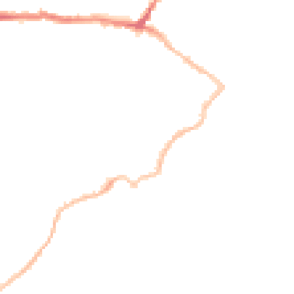
Road noise across the postcode
Modelled day and night-time noise levels around CT11 8JB from Defra's strategic mapping. The pin marks this postcode's centroid.
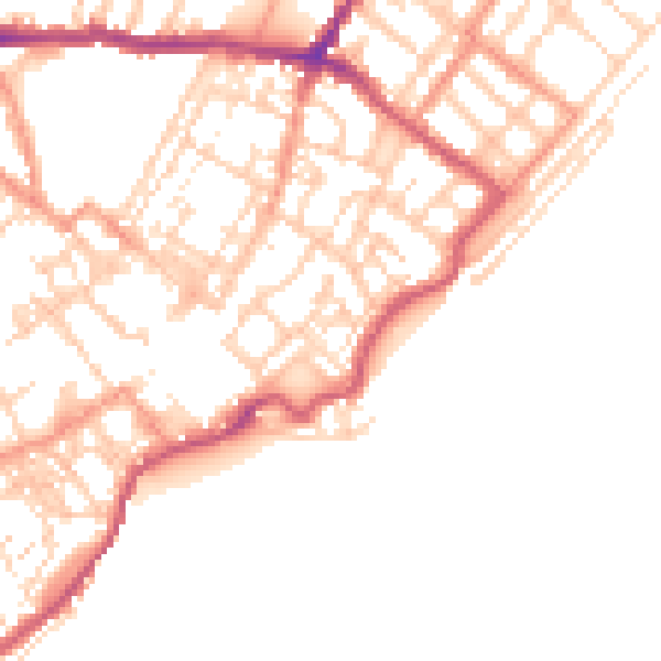
Daytime· 07:00 – 23:00
49.2dB
Everything within walking distance
Schools, transport stops and scenic spots near this property — 47 points of interest in total.
Beautiful places to visit nearby
Curated scenic spots within reach of this postcode, served by Beautifulplaces.ai. Photography and tagging come from their open dataset.
Common questions
The questions buyers, sellers and homeowners most often ask about 2 Alliance Road, Ramsgate, CT11 8JB. Each answer is also embedded as structured data for search engines.