Are you a property professional?Get qualified leads from motivated homeowners.
Get started129 Mayfield Road, South Croydon, CR2 0BH
3 sales on record
About 129 Mayfield Road
A plain-English summary derived from public records, EPC certificates, sold prices and local data.
129 Mayfield Road is a detached house in South Croydon (CR2 0BH). It has a recorded floor area of 175 m² (around 1884 sq ft), construction records dating it to 1976-1982 and council tax band F. The latest certificate (August 2019) shows a D (score 68), on the cusp of jumping into the C band. The recommended improvements would lift it to B (score 82), a 2-band jump.
Sale prices here have outpaced England HPI: 5.5% per year against 0% for the wider region. On a £-per-square-foot basis, the last sale (£393/sq ft) was about 57.4% above the typical sold price in the postcode. At 175 m² the property is well over the postcode median (110 m² across 8 EPCs), placing it in the larger end of the local stock. Most recent transfer was December 2024 at £740,000 — fresh data. 2 planning records sit against the property, 1 approved, 1 refused. Past consents include an extension and subdivision, meaningful when judging how the property has evolved.
Energy performance
Every EPC certificate filed against this property — current rating, recorded improvements, and where there's headroom to reach a higher band.
Recommended upgrades on file would lift this property by multiple EPC bands.
EPC Rating
A
B
C
D
D68
E
F
G
Main Heating
Gas
Main Fuel
Gas
Hot Water
Average
Windows
Average
CO2 Emissions
5.9 t/year
Occupancy
Owner Occupied
Planning history
Applications and permits filed against 129 Mayfield Road, South Croydon, CR2 0BH, sourced from the PlanIt planning register.
A recent planning application at 129 Mayfield Road was refused — worth checking the council file.
- Aug 2021Demolition And RebuildFullRefused
Demolition of existing two storey detached dwelling and erection of a part three storey building with accomodation within the roof space and a part two storey buiding comprising of 5no units including 2X3 bedroom units, 2X1 bedroom units and 1 studio flat with associated access, external amenity spaces, refuse storage and car and cycle parking at 129 Mayfield Road, South Croydon, CR2 0BH.
Sales history & valuation
Recorded transactions, our model's current estimate, and a quick read on what neighbouring properties have sold for.
Sale price has at least doubled since 2005.
Current estimate
See how we calculated this£727,000
Modelled from EPC, postcode comparables and a sale-price growth of 5.5% per year over 19 years.
Last sold (2024)
£740,000
Growth on file: 5.5% per year over 19 years.
Sales timeline
Versus other Mayfield Road homes
Four headline reads against 7 similar houses on this street, drawn from the latest EPC and Land Registry data.
129 Mayfield Road is notably below the street on years held.
Price per m²
£4,229
Street avg £3,502
Floor Area
175 m²
Street avg 119 m²
Habitable Rooms
5 rooms
Similar properties nearby
A handful of close matches in the same postcode area, ranked by likeness on bedrooms, type and floor area.
The neighbourhood at a glance
A condensed read of the local area. Each tile links through to the full breakdown on the South Croydon district page.
Rail-style transport is unusually close for this postcode.
Crime
5/mo
Rising year-on-year across the wider district.
Nearest stop
0.1 km
Brambledown Road — bus stop.
Road noise across the postcode
Modelled day and night-time noise levels around CR2 0BH from Defra's strategic mapping. The pin marks this postcode's centroid.
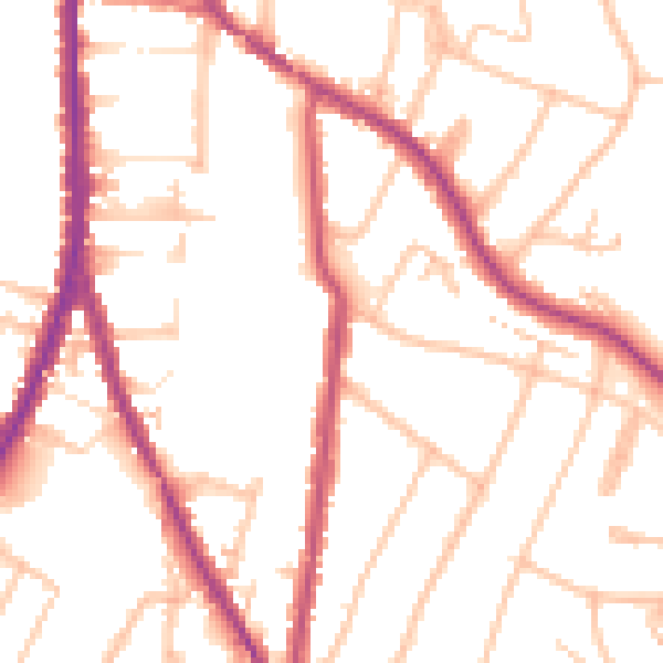
Daytime· 07:00 – 23:00
51.5dB

Everything within walking distance
Schools, transport stops and scenic spots near this property — 62 points of interest in total.
Beautiful places to visit nearby
Curated scenic spots within reach of this postcode, served by Beautifulplaces.ai. Photography and tagging come from their open dataset.
Common questions
The questions buyers, sellers and homeowners most often ask about 129 Mayfield Road, South Croydon, CR2 0BH. Each answer is also embedded as structured data for search engines.