Are you a property professional?Get qualified leads from motivated homeowners.
Get started1 Edgar Road, South Croydon, CR2 0NJ
About 1 Edgar Road
A plain-English summary derived from public records, EPC certificates, sold prices and local data.
1 Edgar Road is a four-bedroom semi-detached house in South Croydon (CR2 0NJ). It has a recorded floor area of 141 m² (around 1518 sq ft), construction records dating it to 1900-1929 and council tax band E. The latest certificate (March 2022) shows an E (score 51), well below the UK norm with real room to improve. The recommended improvements would lift it to B (score 84), a 3-band jump.
Untraded for 28 years, with the last transfer in March 1998. Only one transfer is on record with HM Land Registry, suggesting it has stayed in the same hands for a long time. Today's modelled estimate of £674,000 sits 371.3% above the 1998 sale of £143,000. On a £-per-square-foot basis, the last sale (£94/sq ft) was about 57.5% below the postcode norm. At 141 m² it's 17.5% larger than the typical home in the postcode (120 m² median across 21 EPCs).
What this property has
Pulled from EPC certificates, claim submissions and our property model. Empty categories are hidden — we only show what's known.
Inside
- Bedrooms4
- Bathrooms3
Energy performance
Every EPC certificate filed against this property — current rating, recorded improvements, and where there's headroom to reach a higher band.
1 Edgar Road's carbon output runs well above what efficient homes in the postcode produce.
EPC Rating
A
B
C
D
E
E51
F
G
Main Heating
Gas
Main Fuel
Gas
Hot Water
Good
Windows
Good
CO2 Emissions
7.7 t/year
Occupancy
Owner Occupied
Sales history & valuation
Recorded transactions, our model's current estimate, and a quick read on what neighbouring properties have sold for.
1 Edgar Road's modelled value sits at over four times its earliest registered sale price (1998).
Current estimate
See how we calculated this£674,000
Modelled from EPC, postcode comparables.
Last sold (1998)
£143,000
Recorded with HM Land Registry.
Sales timeline
Versus other Edgar Road homes
Four headline reads against 13 similar houses on this street, drawn from the latest EPC and Land Registry data.
Years Held for 1 Edgar Road runs comfortably ahead of the street norm.
Price per m²
£1,014
Street avg £3,296
Floor Area
141 m²
Street avg 146 m²
Habitable Rooms
6 rooms
Similar properties nearby
A handful of close matches in the same postcode area, ranked by likeness on bedrooms, type and floor area.
The neighbourhood at a glance
A condensed read of the local area. Each tile links through to the full breakdown on the South Croydon district page.
Rail-style transport is unusually close for this postcode.
Crime
5/mo
Rising year-on-year across the wider district.
Nearest stop
0.2 km
Sanderstead Rail Station — railway station.
Road noise across the postcode
Modelled day and night-time noise levels around CR2 0NJ from Defra's strategic mapping. The pin marks this postcode's centroid.
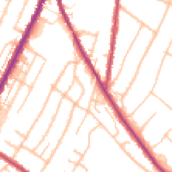
Daytime· 07:00 – 23:00
51.5dB

Everything within walking distance
Schools, transport stops and scenic spots near this property — 64 points of interest in total.
Beautiful places to visit nearby
Curated scenic spots within reach of this postcode, served by Beautifulplaces.ai. Photography and tagging come from their open dataset.
Common questions
The questions buyers, sellers and homeowners most often ask about 1 Edgar Road, South Croydon, CR2 0NJ. Each answer is also embedded as structured data for search engines.