15 Barnfield, Feering, Colchester, CO5 9HP
About 15 Barnfield
15 Barnfield is a detached house in Feering, Colchester, Colchester (CO5 9HP). It has a recorded floor area of 99 m² (around 1066 sq ft), construction records dating it to 1991-1995 and council tax band E. The latest certificate (December 2021) shows a C (score 70). The recommended improvements would push it to B (score 83).
Held since March 1998 — that's 28 years off the open market, well above the local norm. Only one transfer is on record with HM Land Registry, suggesting it has stayed in the same hands for a long time. On energy efficiency it sits in the top 10% of properties in this postcode. Today's modelled estimate of £440,000 sits 252% above the 1998 sale of £125,000. On a £-per-square-foot basis, the last sale (£117/sq ft) was about 56.1% below the postcode norm. 3 planning records sit against the property, 3 approved, 0 refused. Past consents include tree works, meaningful when judging how the property has evolved.
Everything you need to know about 15 Barnfield
The true value, the hidden risks and the full sale history, in one report.
Pick your report · every report is £14.99
One time fee only - money back guarantee

The data behind every report


Energy performance
15 Barnfield ranks among the most efficient homes in the postcode for energy use.
EPC Rating
Get a survey for this property
Level 2 HomeBuyer Report
We've checked 10 risk factors against the available data for this property and believe a Level 2 HomeBuyer Report could be a suitable option for you.
From £695 · Includes VAT
Planning history
Planning history at 15 Barnfield is exclusively tree-management applications — typical for a property with mature trees on or near the plot.
3 applications on record at 15 Barnfield, Feering, Colchester, CO5 9HP
- Feb 2007Tree WorksTreesOutcome in report
Notice of intent to carry out works to trees protected by Tree Preservation Order No. 51a/00 - Cut back 1 Sweet Chestnut Tree
- Documents
- 2 docs on file
- Reference
- 07/00022/TPO
- More recent applications — locked
- Tree WorksOct 2018Decision
- Tree WorksNov 2014Decision
Unlock 15 Barnfield, Feering, Colchester, CO5 9HP's full planning history
You're seeing the shape of it. The report has the substance.
- Every decision — granted, refused or withdrawn (3 on record)
- All 3 applications on this property in full, plus 1 notable nearby
- The 7 documents, officer reports & conditions
- What the pattern means for extending or converting here
One time fee only - money back guarantee
Sales history & valuation
Latest sale on 15 Barnfield was the lowest on Land Registry record across the postcode.
£440,000
Modelled from EPC, postcode comparables.
£125,000
Recorded with HM Land Registry.
Sales timeline
16 March 1998Most recent
£125,000
Median price across the last 5 sales in CO5 9HP: £395,000 (2025–2016).
Nearby sales in CO5 9HP
12 Barnfield, Feering, Colchester, CO5 9HP
Sold Oct 2025
£395,0006 Barnfield, Feering, Colchester, CO5 9HP
Sold May 2021
£395,0003 Barnfield, Feering, Colchester, CO5 9HP
Sold Aug 2020
£430,00011 Barnfield, Feering, Colchester, CO5 9HP
Sold Feb 2016
£366,0004 Barnfield, Feering, Colchester, CO5 9HP
Sold Jan 2016
£340,000
Versus other Barnfield homes
Price per m² for 15 Barnfield lags the street by a wide margin.
Price per m²
£1,263
Street avg £3,375
Floor Area
99 m²
Street avg 142 m²
Habitable Rooms
5 rooms
Street avg 6 rooms
CO₂ Emissions
3.5 t/year
Street avg 5.5 t/year
Everything you need to know about 15 Barnfield
The true value, the hidden risks and the full sale history, in one report.
Pick your report · every report is £14.99
One time fee only - money back guarantee
The data behind every report
Similar properties nearby
1 Brockwell Lane, Kelvedon
CO5 9BB
1 Avocet Close, Kelvedon
CO5 9PD
1 Bouchiers Place, Messing
CO5 9TY
1 Clover Avenue, Feering
CO5 9GF
1 Cedar Way, Feering
CO5 9GP
1 Church Cottages, Well Lane, Easthorpe
CO5 9HL
1 Argyle Court, High Street, Kelvedon
CO5 9AA
1 Birch Close, Feering
CO5 9GL
The neighbourhood at a glance
Rail-style transport is unusually close for this postcode.
Crime
1/mo
Steady year-on-year across the wider district.
Nearest stop
0.1 km
Feering Hill — bus stop.
Closest school
0.7 km
Feering Church of England Primary School. 3 schools nearby.
Go deeper on the local area
A Local Area report breaks down crime, transport links, schools and air quality in depth.
Road noise across the postcode
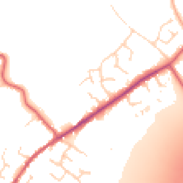
Daytime· 07:00 – 23:00
51.3dB
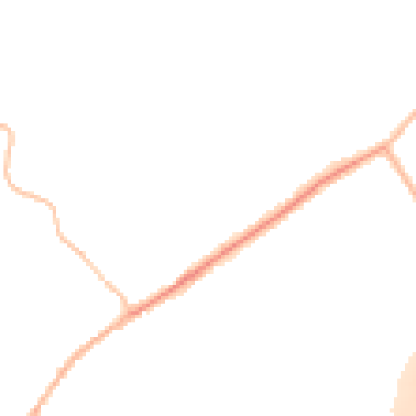
Night-time· 23:00 – 07:00
44.6dB