89 Nayland Road, Mile End, Colchester, CO4 5EN
About 89 Nayland Road
89 Nayland Road is a detached house in Mile End, Colchester, Colchester (CO4 5EN). It has a recorded floor area of 54 m² (around 581 sq ft), construction records dating it to 1950-1966 and council tax band B. The latest certificate (March 2018) returns a B (score 82), comfortably above the UK average. When first surveyed in September 2014 the rating was D, the property has climbed 2 bands since. Between certificates, wall efficiency went from Good to Very Good, roof efficiency went from Average to Very Good and window efficiency went from Average to Very Good. The recommended improvements would push it to A (score 97).
At 54 m² it sits well below the postcode median (82 m² across 12 EPCs), making it one of the more compact homes locally. Its energy rating outperforms most of the postcode (better than 83% of similar EPCs). Most recent transfer: January 2023 at £290,000. Across the public record there are 4 sales, relatively high churn for a single property. Across 2015–2023, sale prices on this property compounded at 2.1% per year. On a £-per-square-foot basis, the last sale (£499/sq ft) was about 168.5% above the typical sold price in the postcode. 6 planning records sit against the property, 6 approved, 0 refused.
Know exactly what you're buying at 89 Nayland Road
Before you offer, see what the listing won't tell you, the true value, the red flags and the full history.
Already flagged here
Valuation
against the asking price
Risks
planning & flood
Sold prices
similar homes nearby
Trends
the local market
Energy performance
89 Nayland Road's carbon output is low for the local stock.
EPC Rating
Property Improvements
Changes detected from historical EPC data
Heating controls upgraded for better temperature management
Hot water efficiency improved
High performance glazing installed
Wall insulation improved
Loft insulation upgraded to recommended levels
Floor insulation added or improved
More low energy lighting installed
Planning history
89 Nayland Road has been through 6 approved planning applications — a well-evolved property.
- Dec 2017ConditionsIn report
Application to discharge conditions 8 and 9 of planning permission 150600
- Documents
- 3 docs on file
- Reference
- 172876
- May 2016ConditionsIn report
Discharge of condition 4 (Landscaping) of planning permission 151227. (Proposed single storey dwelling with associated parking.)
- Documents
- 3 docs on file
- Reference
- 160678
We flagged 2 things worth checking at 89 Nayland Road
Independent checks surfaced things a buyer would want to understand before offering. The report explains each one in full, with the underlying data and what to ask.
- Signs of HMO activity in the area
- Larger development activity nearby
30-day money-back guarantee
Sales history & valuation
89 Nayland Road saw 4 transfers in just over a decade — high turnover for the postcode.
£297,000
Modelled from EPC, postcode comparables and a sale-price growth of 2.1% per year over 8 years.
£290,000
Growth on file: 2.1% per year over 8 years.
Sales timeline
16 January 2023Most recent
£290,000
+56.8%over 2 years27 November 2020
£185,000
-53.8%over 3 years13 March 2017
£400,000
+63.3%over 2 years6 January 2015
£245,000
Median price across the last 5 sales in CO4 5EN: £300,000 (2025–2018).
Nearby sales in CO4 5EN
81 Nayland Road, Mile End, Colchester, CO4 5EN
Sold Aug 2025
£225,00050a, Nayland Road, Mile End, Colchester, CO4 5EN
Sold May 2024
£305,00095 Nayland Road, Mile End, Colchester, CO4 5EN
Sold Feb 2021
£240,00042 Nayland Road, Mile End, Colchester, CO4 5EN
Sold Mar 2020
£300,00085 Nayland Road, Mile End, Colchester, CO4 5EN
Sold Sept 2018
£380,000
Everything we know about 89 Nayland Road, in one report
What it's really worth, what could be wrong, and the planning, sales and area data in full.
What we flagged
- Signs of HMO activity in the area
- Larger development activity nearby

Versus other Nayland Road homes
89 Nayland Road outperforms the street on price per m² by a wide margin.
Price per m²
£5,370
Street avg £2,853
Floor Area
54 m²
Street avg 82 m²
CO₂ Emissions
1.0 t/year
Street avg 3.0 t/year
Years Held
3 years
Street avg 10 years
Similar properties nearby
The neighbourhood at a glance
Crime
5/mo
Steady year-on-year across the wider district.
Nearest stop
0.1 km
Nayland Road — bus stop.
Closest school
0.2 km
Myland Community Primary School. 18 schools nearby.
Go deeper on the local area
The full report breaks down crime, transport links, schools and air quality in depth.
Road noise across the postcode
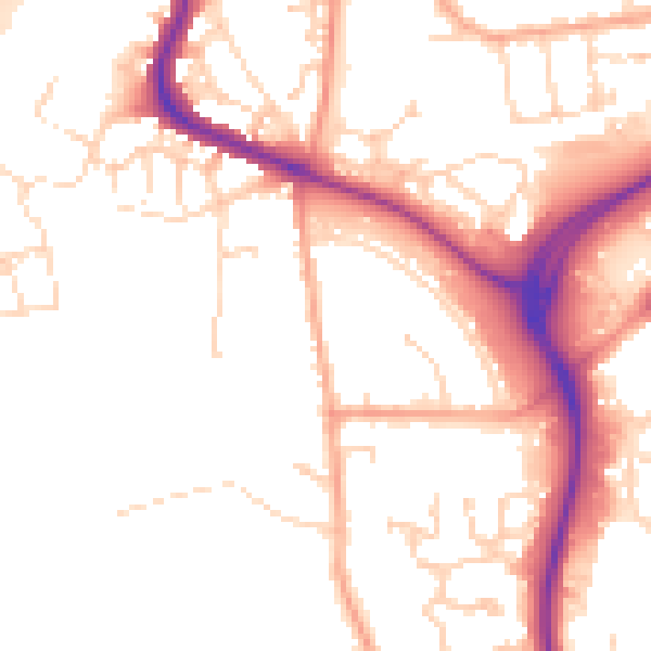
Daytime· 07:00 – 23:00
51.7dB

Night-time· 23:00 – 07:00
42.4dB