16 Abbeygate Street, Colchester, CO2 7HB
About 16 Abbeygate Street
16 Abbeygate Street is a mid-terrace house in Colchester (CO2 7HB). It has a recorded floor area of 143 m² (around 1539 sq ft), construction records dating it to before 1900 and council tax band E. The latest certificate (November 2012) shows an E (score 44), well below the UK norm with real room to improve. The recommended improvements would lift it to C (score 70), a 2-band jump. The latest certificate is from November 2012, so improvements made since then won't be reflected.
Held since April 2003 — that's 23 years off the open market, well above the local norm. At 143 m² the property is well over the postcode median (83 m² across 13 EPCs), placing it in the larger end of the local stock. Across 1996–2003, sale prices on this property compounded at 15.5% per year. Today's modelled estimate of £439,000 sits 75.6% above the 2003 sale of £250,000. On a £-per-square-foot basis, the last sale (£162/sq ft) was about 20.5% below the postcode norm. One historical planning record sits against the property in 2007.
Everything you need to know about 16 Abbeygate Street
The true value, the hidden risks and the full sale history, in one report.
Pick your report · every report is £14.99
One time fee only - money back guarantee

The data behind every report


Energy performance
16 Abbeygate Street's carbon output runs well above what efficient homes in the postcode produce.
EPC Expired
This certificate is over 10 years old and is no longer valid.Expired 02 Nov 2022
EPC Rating
Get a survey for this property
Level 3 Building Survey
Because the property was built before 1919 and has solid (non-cavity) walls, we believe a Level 3 building survey should be considered.
From £1,020 · Includes VAT
Planning history
1 application on record at 16 Abbeygate Street, Colchester, CO2 7HB
- Nov 2007Tree WorksTreesOutcome in report
fell fig
- Documents
- 1 doc on file
- Reference
- 072922
Unlock 16 Abbeygate Street, Colchester, CO2 7HB's full planning history
You're seeing the shape of it. The report has the substance.
- Every decision — granted, refused or withdrawn
- All 1 application on this property in full, plus 4 notable nearby
- The 1 documents, officer reports & conditions
- What the pattern means for extending or converting here
One time fee only - money back guarantee
Sales history & valuation
16 Abbeygate Street has more than doubled in price since the earliest registered sale in 1996.
£439,000
Modelled from EPC, postcode comparables and a sale-price growth of 15.5% per year over 7 years.
£250,000
Growth on file: 15.5% per year over 7 years.
Sales timeline
13 April 2003Most recent
£250,000
+166.0%over 6 years27 June 1996
£94,000
Median price across the last 5 sales in CO2 7HB: £257,000 (2020–2019).
Nearby sales in CO2 7HB
11 Abbeygate Street, Colchester, CO2 7HB
Sold Aug 2020
£257,00020 Abbeygate Street, Colchester, CO2 7HB
Sold Apr 2020
£218,00014 Abbeygate Street, Colchester, CO2 7HB
Sold Apr 2020
£360,00022 Abbeygate Street, Colchester, CO2 7HB
Sold Dec 2019
£207,00012 Abbeygate Street, Colchester, CO2 7HB
Sold Sept 2019
£435,000
Versus other Abbeygate Street homes
Years Held for 16 Abbeygate Street runs comfortably ahead of the street norm.
Price per m²
£1,748
Street avg £2,411
Floor Area
143 m²
Street avg 99 m²
Habitable Rooms
6 rooms
Street avg 5 rooms
CO₂ Emissions
10.0 t/year
Street avg 5.1 t/year
Everything you need to know about 16 Abbeygate Street
The true value, the hidden risks and the full sale history, in one report.
Pick your report · every report is £14.99
One time fee only - money back guarantee
The data behind every report
Similar properties nearby
1 Baynard Green
CO2 7UN
1 Britannia Mews
CO2 7TJ
1 Abbey Field View
CO2 7US
1 Cannons Close
CO2 7JG
1 Barrington Road
CO2 7RP
1 Camlet Way
CO2 7NS
1 Blacksmith Lane
CO2 7NQ
1 Barside Terrace, Layer Road
CO2 7HX
The neighbourhood at a glance
Rail-style transport is unusually close for this postcode.
Crime
5/mo
Rising year-on-year across the wider district.
Nearest stop
0.1 km
St John's Street — bus stop.
Closest school
0.1 km
St John's Green Primary School. 38 schools nearby.
Go deeper on the local area
A Local Area report breaks down crime, transport links, schools and air quality in depth.
Road noise across the postcode
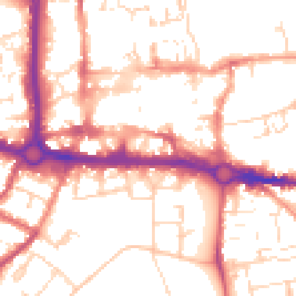
Daytime· 07:00 – 23:00
53.3dB
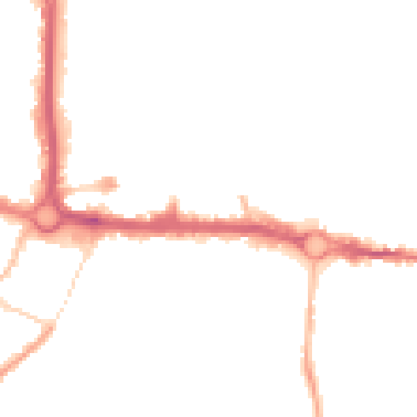
Night-time· 23:00 – 07:00
42.9dB