16 Woodfield End, Layer De La Haye, Colchester, CO2 0LL
About 16 Woodfield End
16 Woodfield End is a three-bedroom property in Layer-De-La-Haye, Colchester, Colchester (CO2 0LL). It has council tax band C.
Untraded for 20 years, with the last transfer in May 2006. 2 planning records sit against the property, 2 approved, 0 refused. Past consents include an extension, meaningful when judging how the property has evolved.
What this property has
Inside
- Bedrooms3
Everything you need to know about 16 Woodfield End
The true value, the hidden risks and the full sale history, in one report.
Pick your report · every report is £14.99
One time fee only - money back guarantee

The data behind every report


Energy performance
No EPC on record
This property doesn't have an Energy Performance Certificate yet. An EPC is required to sell or let — and unlocks our automated valuation.
Get a survey for this property
Level 2 HomeBuyer Report
We've checked 10 risk factors against the available data for this property and believe a Level 2 HomeBuyer Report could be a suitable option for you.
Planning history
16 Woodfield End has an approved single-storey front extension on the planning record.
2 applications on record at 16 Woodfield End, Layer De La Haye, Colchester, CO2 0LL
- Apr 2022ExtensionFullOutcome in report
Extension: Single storey · Front of property
Single storey first floor bedroom extension to front elevation over current single storey ground floor extension. Single storey rear elevation to accommodate a family living/dining space.
- Documents
- 10 docs on file
- Reference
- 220047
- More recent applications — locked
- OutbuildingApr 2023Decision
Unlock 16 Woodfield End, Layer De La Haye, Colchester, CO2 0LL's full planning history
You're seeing the shape of it. The report has the substance.
- Every decision — granted, refused or withdrawn (2 on record)
- All 2 applications on this property in full, plus 1 notable nearby
- The 28 documents, officer reports & conditions
- What the pattern means for extending or converting here
One time fee only - money back guarantee
Sales history & valuation
£170,000
Recorded with HM Land Registry.
Sales timeline
24 May 2006Most recent
£170,000
Median price across the last 5 sales in CO2 0LL: £335,000 (2025–2020).
Nearby sales in CO2 0LL
12 Woodfield End, Layer De La Haye, Colchester, CO2 0LL
Sold Mar 2025
£305,00028 Woodfield End, Layer De La Haye, Colchester, CO2 0LL
Sold Aug 2023
£335,00026 Woodfield End, Layer De La Haye, Colchester, CO2 0LL
Sold Jul 2023
£341,00017 Woodfield End, Layer De La Haye, Colchester, CO2 0LL
Sold May 2023
£340,0008 Woodfield End, Layer De La Haye, Colchester, CO2 0LL
Sold May 2020
£305,000
Everything you need to know about 16 Woodfield End
The true value, the hidden risks and the full sale history, in one report.
Pick your report · every report is £14.99
One time fee only - money back guarantee
The data behind every report
Similar properties nearby
1 Felstead Close
CO2 0BA
1 Garrod Court, Holt Drive
CO2 0BL
1 Finchingfield Way
CO2 0AY
1 Blenheim Drive
CO2 0AR
1 Chestnut Avenue
CO2 0AL
1 Ash Grove
CO2 0AH
1 Chancery Grove, Mersea Road, Blackheath
CO2 0BQ
1 Blackheath
CO2 0AE
The neighbourhood at a glance
Reported crime in the wider district is trending notably upward year-on-year.
Crime
5/mo
Rising year-on-year across the wider district.
Nearest stop
0.2 km
New Cut — bus stop.
Closest school
0.4 km
Layer-de-la-Haye Church of England Voluntary Controlled Primary School. 6 schools nearby.
Go deeper on the local area
A Local Area report breaks down crime, transport links, schools and air quality in depth.
Road noise across the postcode
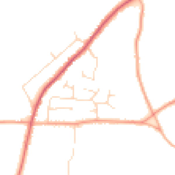
Daytime· 07:00 – 23:00
45.7dB

Night-time· 23:00 – 07:00
37.8dB