1 Blenheim Drive, Colchester, CO2 0AR
About 1 Blenheim Drive
1 Blenheim Drive is a three-bedroom detached house in Colchester (CO2 0AR). It has a recorded floor area of 99 m² (around 1066 sq ft), construction records dating it to 1967-1975 and council tax band A. The latest certificate (October 2024) shows a D (score 61), on the cusp of jumping into the C band. The rating has held steady at D across 2 certificates since September 2020. Between certificates, wall efficiency went from Poor to Average and roof efficiency went from Very Poor to Average. The recommended improvements would lift it to B (score 83), a 2-band jump.
Untraded for 22 years, with the last transfer in August 2004. At 99 m² the property is well over the postcode median (58 m² across 9 EPCs), placing it in the larger end of the local stock. Today's modelled estimate of £369,000 sits 89.2% above the 2004 sale of £195,000. On a £-per-square-foot basis, the last sale (£183/sq ft) was about 28% below the postcode norm.
What this property has
Inside
- Bedrooms3
- Bathrooms2
Outside
- Private gardenSouth-facing
- GarageYes
Everything you need to know about 1 Blenheim Drive
The true value, the hidden risks and the full sale history, in one report.
Pick your report · every report is £14.99
One time fee only - money back guarantee

The data behind every report


Energy performance
Recommended upgrades on file would lift this property by multiple EPC bands.
EPC Rating
Property Improvements
Changes detected from historical EPC data
Cavity wall insulation installed
Roof insulation improved
Get a survey for this property
Level 2 HomeBuyer Report
We've checked 10 risk factors against the available data for this property and believe a Level 2 HomeBuyer Report could be a suitable option for you.
From £595 · Includes VAT
Planning history
1 Blenheim Drive has no planning applications on record.
But the area is active
1 notable application nearby — larger schemes and conversions that could reshape the street. The report maps them all.
Sales history & valuation
1 Blenheim Drive valuation sits well clear of the typical sold price in this postcode.
£369,000
Modelled from EPC, postcode comparables.
£195,000
Recorded with HM Land Registry.
Sales timeline
8 August 2004Most recent
£195,000
Median price across the last 5 sales in CO2 0AR: £175,000 (2024–2020).
Nearby sales in CO2 0AR
Blenheim, Flat 1, Blenheim Drive, Colchester, CO2 0AR
Sold Aug 2024
£175,0006 Blenheim Drive, Colchester, CO2 0AR
Sold Dec 2023
£400,000Blenheim, Flat 4, Blenheim Drive, Colchester, CO2 0AR
Sold Nov 2023
£138,0004 Blenheim Drive, Colchester, CO2 0AR
Sold Dec 2021
£360,0003 Blenheim Drive, Colchester, CO2 0AR
Sold Jul 2002
£52,000
Versus other Blenheim Drive homes
On floor area, 1 Blenheim Drive runs well behind the street norm.
Price per m²
£1,970
Street avg £3,781
Floor Area
99 m²
Street avg 120 m²
Habitable Rooms
5 rooms
Street avg 4 rooms
CO₂ Emissions
4.6 t/year
Street avg 6.6 t/year
Everything you need to know about 1 Blenheim Drive
The true value, the hidden risks and the full sale history, in one report.
Pick your report · every report is £14.99
One time fee only - money back guarantee
The data behind every report
Similar properties nearby
1 Chestnut Avenue
CO2 0AL
1 Ash Grove
CO2 0AH
1 Felstead Close
CO2 0BA
1 Garrod Court, Holt Drive
CO2 0BL
1 Finchingfield Way
CO2 0AY
1 Chancery Grove, Mersea Road, Blackheath
CO2 0BQ
1 Greate House Farm Road, Layer De La Haye
CO2 0LP
1 Blackheath
CO2 0AE
The neighbourhood at a glance
Reported crime in the wider district is trending notably upward year-on-year.
Crime
5/mo
Rising year-on-year across the wider district.
Nearest stop
0.1 km
Gosfield Rd — bus stop.
Closest school
0.3 km
Cherry Tree Academy. 14 schools nearby.
Go deeper on the local area
A Local Area report breaks down crime, transport links, schools and air quality in depth.
Road noise across the postcode
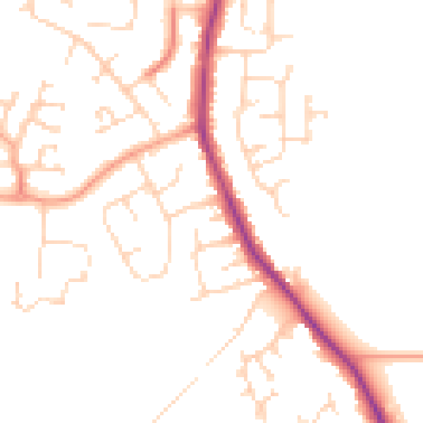
Daytime· 07:00 – 23:00
47.8dB

Night-time· 23:00 – 07:00
39.1dB