5 Winstree Close, Layer De La Haye, Colchester, CO2 0JR
About 5 Winstree Close
5 Winstree Close is a semi-detached house in Layer-De-La-Haye, Colchester, Colchester (CO2 0JR). It has a recorded floor area of 102 m² (around 1098 sq ft), construction records dating it to 1967-1975 and council tax band C. The latest certificate (December 2015) shows an E (score 53), well below the UK norm with real room to improve. The recommended improvements would lift it to C (score 77), a 2-band jump. The latest certificate is from December 2015, so improvements made since then won't be reflected.
On energy efficiency it sits in the bottom 10% of properties in this postcode — significant headroom for improvement.
Everything you need to know about 5 Winstree Close
The true value, the hidden risks and the full sale history, in one report.
Pick your report · every report is £14.99
One time fee only - money back guarantee

The data behind every report


Energy performance
5 Winstree Close sits at the bottom of the postcode for energy efficiency — meaningful headroom to improve.
EPC Expired
This certificate is over 10 years old and is no longer valid.Expired 23 Dec 2025
EPC Rating
Get a survey for this property
Level 3 Building Survey
Because the property has been extended more than once, we believe a Level 3 building survey should be considered.
From £955 · Includes VAT
Planning history
5 Winstree Close has no planning applications on record.
But the area is active
1 notable application nearby — larger schemes and conversions that could reshape the street. The report maps them all.
Sales history & valuation
5 Winstree Close has no Land Registry sales on file, suggesting it has stayed in the same hands since registration began.
£331,000
Modelled from EPC, postcode comparables.
No sales recorded with HM Land Registry
That can mean the property has never traded since the registry began publishing in 1995, was a new build that hasn't been registered yet, or is held in the same hands long-term.
Median price across the last 5 sales in CO2 0JR: £400,000 (2025–2021).
Nearby sales in CO2 0JR
25 Winstree Close, Layer De La Haye, Colchester, CO2 0JR
Sold Jun 2025
£350,0008 Winstree Close, Layer De La Haye, Colchester, CO2 0JR
Sold Dec 2024
£400,00026 Winstree Close, Layer De La Haye, Colchester, CO2 0JR
Sold Jun 2023
£400,0002 Winstree Close, Layer De La Haye, Colchester, CO2 0JR
Sold May 2023
£450,00022 Winstree Close, Layer De La Haye, Colchester, CO2 0JR
Sold Aug 2021
£415,000
Versus other Winstree Close homes
CO₂ Emissions for 5 Winstree Close lags the street by a wide margin.
EPC Rating
53 (E)
Street avg 66 (D)
Floor Area
102 m²
Street avg 102 m²
CO₂ Emissions
5.6 t/year
Street avg 3.9 t/year
Habitable Rooms
5 rooms
Street avg 5 rooms
Everything you need to know about 5 Winstree Close
The true value, the hidden risks and the full sale history, in one report.
Pick your report · every report is £14.99
One time fee only - money back guarantee
The data behind every report
Similar properties nearby
1 Church Cottages, School Hill, Birch
CO2 0LZ
1 Heath Farm Cottages, Orpens Hill, Birch
CO2 0LY
1 Green Acres Road, Layer De La Haye
CO2 0JP
1 Heath Cottages, The Heath, Layer De La Haye
CO2 0EE
1 Hetherington Close
CO2 0AN
1 Claire Cottages, Hardys Green, Birch
CO2 0NT
1 Felstead Close
CO2 0BA
1 Blenheim Drive
CO2 0AR
The neighbourhood at a glance
Reported crime in the wider district is trending notably upward year-on-year.
Crime
5/mo
Rising year-on-year across the wider district.
Nearest stop
0.2 km
Old Forge Road — bus stop.
Closest school
0.2 km
Layer-de-la-Haye Church of England Voluntary Controlled Primary School. 4 schools nearby.
Go deeper on the local area
A Local Area report breaks down crime, transport links, schools and air quality in depth.
Road noise across the postcode
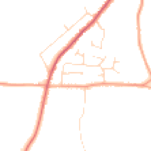
Daytime· 07:00 – 23:00
45.5dB

Night-time· 23:00 – 07:00
37.5dB