68 High Road, Layer De La Haye, Colchester, CO2 0DT
About 68 High Road
68 High Road is a two-bedroom property in Layer-De-La-Haye, Colchester, Colchester (CO2 0DT). It has council tax band B.
Untraded for 20 years, with the last transfer in August 2006. One planning record on file: an extension approved in 2017. Past consents include an extension and a porch, meaningful when judging how the property has evolved.
What this property has
Inside
- Bedrooms2
Everything you need to know about 68 High Road
The true value, the hidden risks and the full sale history, in one report.
Pick your report · every report is £14.99
One time fee only - money back guarantee

The data behind every report


Energy performance
No EPC on record
This property doesn't have an Energy Performance Certificate yet. An EPC is required to sell or let — and unlocks our automated valuation.
Get a survey for this property
Level 2 HomeBuyer Report
We've checked 10 risk factors against the available data for this property and believe a Level 2 HomeBuyer Report could be a suitable option for you.
Planning history
1 application on record at 68 High Road, Layer De La Haye, Colchester, CO2 0DT
- Jun 2017PorchFullOutcome in report
Demolition of existing single storey rear extensions and construction of a first floor side extension, two storey rear extension, front porch and alterations to fenestration's.
Extension- Documents
- 9 docs on file
- Reference
- 171036
Unlock 68 High Road, Layer De La Haye, Colchester, CO2 0DT's full planning history
You're seeing the shape of it. The report has the substance.
- Every decision — granted, refused or withdrawn (1 on record)
- All 1 application on this property in full, plus 1 notable nearby
- The 9 documents, officer reports & conditions
- What the pattern means for extending or converting here
One time fee only - money back guarantee
Sales history & valuation
£175,000
Recorded with HM Land Registry.
Sales timeline
24 August 2006Most recent
£175,000
Median price across the last 5 sales in CO2 0DT: £575,000 (2025–2018).
Nearby sales in CO2 0DT
77 High Road, Layer De La Haye, Colchester, CO2 0DT
Sold Jan 2025
£475,00069 High Road, Layer De La Haye, Colchester, CO2 0DT
Sold Jun 2022
£575,00084a, High Road, Layer De La Haye, Colchester, CO2 0DT
Sold Dec 2020
£922,50086 High Road, Layer De La Haye, Colchester, CO2 0DT
Sold Nov 2018
£700,00066 High Road, Layer De La Haye, Colchester, CO2 0DT
Sold Aug 2018
£395,000
Everything you need to know about 68 High Road
The true value, the hidden risks and the full sale history, in one report.
Pick your report · every report is £14.99
One time fee only - money back guarantee
The data behind every report
Similar properties nearby
1 Chancery Grove, Mersea Road, Blackheath
CO2 0BQ
1 Blackheath
CO2 0AE
1 Birches Cottages, Birch Street, Birch
CO2 0NP
1 Ash Grove
CO2 0AH
1 Chestnut Avenue
CO2 0AL
1 Blenheim Drive
CO2 0AR
1 Felstead Close
CO2 0BA
1 Eldred Cottages, Olivers Lane
CO2 0HJ
The neighbourhood at a glance
Reported crime in the wider district is trending notably upward year-on-year.
Crime
5/mo
Rising year-on-year across the wider district.
Nearest stop
0.1 km
New Cut — bus stop.
Closest school
0.3 km
Layer-de-la-Haye Church of England Voluntary Controlled Primary School. 6 schools nearby.
Go deeper on the local area
A Local Area report breaks down crime, transport links, schools and air quality in depth.
Road noise across the postcode
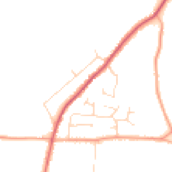
Daytime· 07:00 – 23:00
45.3dB

Night-time· 23:00 – 07:00
37.6dB