10a, Port Lane, Colchester, CO1 2JF
About 10a
10a is a one-bedroom end-of-terrace house in Colchester (CO1 2JF). It has a recorded floor area of 33 m² (around 355 sq ft), construction records dating it to 1983-1990 and council tax band A. Tenure is freehold. At 33 m² this is the smallest unit on EPC record across the building (33–100 m²). The building's EPC ratings span F to C across 29 units on file. The latest certificate (April 2016) shows a D (score 63), on the cusp of jumping into the C band. When first surveyed in March 2010 the rating was F, the property has climbed 2 bands since. Between certificates, wall efficiency went from Very Poor to Good, hot-water efficiency went from Very Poor to Average and main heating went from Poor to Average. The recommended improvements would push it to C (score 75). Main heating runs on electricity. The latest certificate is from April 2016, so improvements made since then won't be reflected.
Across 1996–2016, sale prices on this property compounded at 5.9% per year. Today's modelled estimate of £116,000 sits 61.1% above the 2016 sale of £72,000. At 33 m² it sits well below the postcode median (58 m² across 28 EPCs), making it one of the more compact homes locally. Last changed hands 10 years ago, in July 2016. Across the public record there are 4 sales, relatively high churn for a single property.
What this property has
Inside
- Bedrooms1
- Bathrooms1
Outside
- Private gardenRear
Building
- TenureFreehold
Everything you need to know about 10a
The true value, the hidden risks and the full sale history, in one report.
Pick your report · every report is £14.99
One time fee only - money back guarantee

The data behind every report


Energy performance
EPC Expired
This certificate is over 10 years old and is no longer valid.Expired 26 Apr 2026
EPC Rating
Property Improvements
Changes detected from historical EPC data
Hot water efficiency improved
External or internal wall insulation added
Get a survey for this property
Level 3 Building Survey
Because the property has no mains gas supply and has solid (non-cavity) walls, we believe a Level 3 building survey should be considered.
From £820 · Includes VAT
Planning history
10a has no planning applications on record.
But the area is active
10 notable applications nearby — larger schemes and conversions that could reshape the street. The report maps them all.
Sales history & valuation
Sale price has grown by over 3x since 1996.
£116,000
Modelled from EPC, postcode comparables and a sale-price growth of 5.9% per year over 20 years.
£72,000
Growth on file: 5.9% per year over 20 years.
Sales timeline
4 July 2016Most recent
£72,000
-10.0%over 8 years6 May 2008
£80,000
+220.0%over 8 years27 May 1999
£25,000
+8.7%over 2 years14 August 1996
£23,000
Median price across the last 5 sales in CO1 2JF: £215,000 (2025–2023).
Versus other Port Lane homes
10a is notably below the street on price per m².
Price per m²
£2,182
Street avg £4,380
Floor Area
33 m²
Street avg 36 m²
Habitable Rooms
2 rooms
Street avg 2 rooms
CO₂ Emissions
3.2 t/year
Street avg 2.2 t/year
Everything you need to know about 10a
The true value, the hidden risks and the full sale history, in one report.
Pick your report · every report is £14.99
One time fee only - money back guarantee
The data behind every report
Similar properties nearby
1 Arch House, East Hill
CO1 2GE
1 Carters Court
CO1 2LQ
1 Charles Place
CO1 2NR
1 Bretts Buildings, Magdalen Street
CO1 2LE
1 Brookdale Court, Magdalen Street
CO1 2SE
1 Edward Paxman Gardens
CO1 2NT
1 Connaught Close
CO1 2GJ
1 Brooklands
CO1 2WA
The neighbourhood at a glance
Rail-style transport is unusually close for this postcode.
Crime
6/mo
Steady year-on-year across the wider district.
Nearest stop
0.1 km
Port Lane — bus stop.
Closest school
0.7 km
Kendall Church of England Primary School. 27 schools nearby.
Go deeper on the local area
A Local Area report breaks down crime, transport links, schools and air quality in depth.
Road noise across the postcode
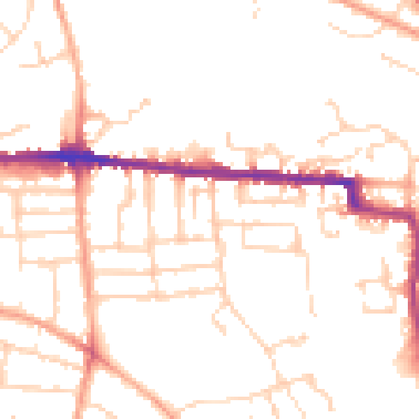
Daytime· 07:00 – 23:00
49.4dB

Night-time· 23:00 – 07:00
39.2dB