82 Barnsdale Avenue, Wirral, CH61 1BQ
About 82 Barnsdale Avenue
82 Barnsdale Avenue is a three-bedroom semi-detached house in Wirral (CH61 1BQ). It has a recorded floor area of 96 m² (around 1033 sq ft), construction records dating it to 1967-1975 and council tax band C. Tenure is freehold. The latest certificate (May 2023) shows a C (score 72). The recommended improvements would push it to B (score 84).
Today's modelled estimate of £291,000 is 16.4% above the 2024 sale price. On a £-per-square-foot basis, the last sale (£242/sq ft) was about 27.6% above the typical sold price in the postcode. Last sale on file: £250,000 in March 2024. One historical planning record sits against the property in 2025.
What this property has
Inside
- Bedrooms3
- Bathrooms1
- Dining roomYes
Outside
- Private gardenRear
- GarageDetached
Building
- TenureFreehold
Everything you need to know about 82 Barnsdale Avenue
The true value, the hidden risks and the full sale history, in one report.
30-day money-back guarantee

The data behind every report


Energy performance
EPC Rating
Planning history
- Jan 2025ExtensionOutlineIn report
Extension: Single storey · Side of property
Single storey side extension
- Reference
- LDP/25/00135
What's in 82 Barnsdale Avenue, Wirral, CH61 1BQ's planning history?
Refusals, disputes and full decisions on this property and nearby, in the report.
Sales history & valuation
82 Barnsdale Avenue valuation sits well clear of the typical sold price in this postcode.
£291,000
Modelled from EPC, postcode comparables.
£250,000
Recorded with HM Land Registry.
Sales timeline
15 March 2024Most recent
£250,000
Median price across the last 5 sales in CH61 1BQ: £280,000 (2025–2021).
Nearby sales in CH61 1BQ
Versus other Barnsdale Avenue homes
82 Barnsdale Avenue is notably below the street on years held.
Price per m²
£2,604
Street avg £2,911
Floor Area
96 m²
Street avg 94 m²
Habitable Rooms
5 rooms
Street avg 5 rooms
CO₂ Emissions
3.2 t/year
Street avg 4.2 t/year
Everything you need to know about 82 Barnsdale Avenue
The true value, the hidden risks and the full sale history, in one report.
30-day money-back guarantee
The data behind every report
Similar properties nearby
1 Gwendoline Close
CH61 1DJ
1 Overdale Avenue
CH61 1DB
10 Overdale Avenue
CH61 1DB
10 Gwendoline Close
CH61 1DL
1 Regents Close
CH61 1BP
1 Barnsdale Avenue
CH61 1BD
1 The Leas
CH61 1BA
10 Holmwood Avenue
CH61 1AX
The neighbourhood at a glance
Crime
2/mo
Steady year-on-year across the wider district.
Nearest stop
0.3 km
Sparks Lane — bus stop.
Closest school
0.5 km
Thingwall Primary School. 13 schools nearby.
Go deeper on the local area
The full report breaks down crime, transport links, schools and air quality in depth.
Road noise across the postcode
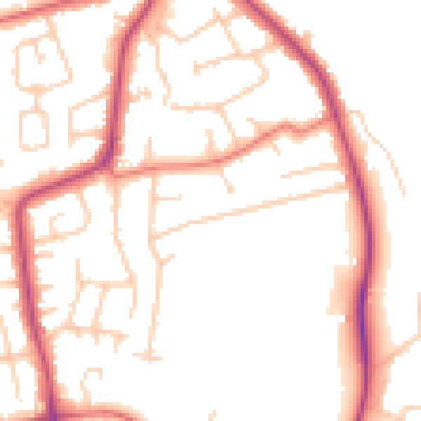
Daytime· 07:00 – 23:00
50.7dB

Night-time· 23:00 – 07:00
41.3dB