10 Holmwood Avenue, Wirral, CH61 1AX
About 10 Holmwood Avenue
10 Holmwood Avenue is a three-bedroom detached house in Wirral (CH61 1AX). It has a recorded floor area of 94 m² (around 1012 sq ft), construction records dating it to 1967-1975 and council tax band E. The latest certificate (September 2017) shows a D (score 68), on the cusp of jumping into the C band. The recommended improvements would lift it to B (score 83), a 2-band jump.
At 94 m² it sits well below the postcode median (143 m² across 12 EPCs), making it one of the more compact homes locally. Across 1996–2022, sale prices on this property compounded at 6.3% per year. On a £-per-square-foot basis, the last sale (£455/sq ft) was about 132.4% above the typical sold price in the postcode. Sold March 2022 for £460,000. That sale was during the post-pandemic price surge, when transactions cleared materially above pre-2020 trend.
What this property has
Inside
- Bedrooms3
- Bathrooms1
Everything you need to know about 10 Holmwood Avenue
The true value, the hidden risks and the full sale history, in one report.
30-day money-back guarantee

The data behind every report


Energy performance
Recommended upgrades on file would lift this property by multiple EPC bands.
EPC Rating
Planning history
10 Holmwood Avenue has no planning applications on record.
The full report still covers planning activity across the surrounding area.
Sales history & valuation
Latest sale on 10 Holmwood Avenue was the highest on Land Registry record across the postcode.
£492,000
Modelled from EPC, postcode comparables and a sale-price growth of 6.3% per year over 25 years.
£460,000
Growth on file: 6.3% per year over 25 years.
Sales timeline
11 March 2022Most recent
£460,000
+53.3%over 3 years14 May 2018
£300,000
+207.7%over 21 years13 December 1996
£97,500
Median price across the last 5 sales in CH61 1AX: £355,000 (2020–2015).
Nearby sales in CH61 1AX
Versus other Holmwood Avenue homes
On price per m², 10 Holmwood Avenue stands well clear of the street.
Price per m²
£4,894
Street avg £2,007
Floor Area
94 m²
Street avg 149 m²
Habitable Rooms
5 rooms
Street avg 7 rooms
CO₂ Emissions
3.7 t/year
Street avg 6.8 t/year
Everything you need to know about 10 Holmwood Avenue
The true value, the hidden risks and the full sale history, in one report.
30-day money-back guarantee
The data behind every report
Similar properties nearby
1 Woodlands Drive
CH61 1AP
1 The Leas
CH61 1BA
1 Barnsdale Avenue
CH61 1BD
1 Regents Close
CH61 1BP
1 Gwendoline Close
CH61 1DJ
1 Holmwood Avenue
CH61 1AX
1 Overdale Avenue
CH61 1DB
10 Overdale Avenue
CH61 1DB
The neighbourhood at a glance
Daytime road noise here sits well below conversation level — a quiet pocket of the postcode.
Crime
2/mo
Steady year-on-year across the wider district.
Nearest stop
0.3 km
Holmwood Drive — bus stop.
Closest school
1.2 km
Thingwall Primary School. 12 schools nearby.
Go deeper on the local area
The full report breaks down crime, transport links, schools and air quality in depth.
Road noise across the postcode
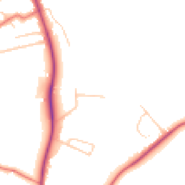
Daytime· 07:00 – 23:00
48.0dB

Night-time· 23:00 – 07:00
39.1dB