11 Holmwood Avenue, Wirral, CH61 1AX
About 11 Holmwood Avenue
11 Holmwood Avenue is a four-bedroom semi-detached house in Wirral (CH61 1AX). It has a recorded floor area of 161 m² (around 1733 sq ft), construction records dating it to 1930-1949 and council tax band C. The latest certificate (July 2020) shows a D (score 61), on the cusp of jumping into the C band. The recommended improvements would push it to C (score 79).
One planning record on file: an extension approved in 2003. Past consents include an extension, meaningful when judging how the property has evolved. At 161 m² it's 18.6% larger than the typical home in the postcode (136 m² median across 12 EPCs). Across 2002–2020, sale prices on this property compounded at 6.2% per year. Today's modelled estimate of £499,000 is 24.8% above the 2020 sale price. On a £-per-square-foot basis, the last sale (£231/sq ft) was about 17.9% above the typical sold price in the postcode. Sold October 2020 for £400,000.
What this property has
Inside
- Bedrooms4
- Bathrooms3
- Open-plan layoutYes
- EnsuiteYes
Outside
- Private gardenRear
- ParkingOff road
Building
- Heating systemGas
- RefurbishedYes
Everything you need to know about 11 Holmwood Avenue
The true value, the hidden risks and the full sale history, in one report.
30-day money-back guarantee

The data behind every report


Energy performance
11 Holmwood Avenue's carbon output runs well above what efficient homes in the postcode produce.
EPC Rating
Planning history
Council records include a two-storey side extension at 11 Holmwood Avenue.
- Feb 2003ExtensionFullIn report
Extension: Two storey · Side of property
Erection of a two storey side extension
- Documents
- 4 docs on file
- Reference
- APP/02/07641
What's in 11 Holmwood Avenue, Wirral, CH61 1AX's planning history?
Refusals, disputes and full decisions on this property and nearby, in the report.
Sales history & valuation
Sale price has at least doubled since 2002.
£499,000
Modelled from EPC, postcode comparables and a sale-price growth of 6.2% per year over 18 years.
£400,000
Growth on file: 6.2% per year over 18 years.
Sales timeline
27 October 2020Most recent
£400,000
+196.3%over 18 years29 September 2002
£135,000
Median price across the last 5 sales in CH61 1AX: £355,000 (2022–2015).
Nearby sales in CH61 1AX
Versus other Holmwood Avenue homes
On years held, 11 Holmwood Avenue runs well behind the street norm.
Price per m²
£2,484
Street avg £2,226
Floor Area
161 m²
Street avg 144 m²
Habitable Rooms
7 rooms
Street avg 6 rooms
CO₂ Emissions
8.2 t/year
Street avg 6.4 t/year
Everything you need to know about 11 Holmwood Avenue
The true value, the hidden risks and the full sale history, in one report.
30-day money-back guarantee
The data behind every report
Similar properties nearby
1 Holmwood Avenue
CH61 1AX
10 Woodlands Drive
CH61 1AL
10 Thorncroft Drive
CH61 1AQ
10 Holmwood Avenue
CH61 1AX
1 Woodlands Drive
CH61 1AP
1 The Leas
CH61 1BA
1 Barnsdale Avenue
CH61 1BD
1 Regents Close
CH61 1BP
The neighbourhood at a glance
Daytime road noise here sits well below conversation level — a quiet pocket of the postcode.
Crime
2/mo
Steady year-on-year across the wider district.
Nearest stop
0.3 km
Holmwood Drive — bus stop.
Closest school
1.2 km
Thingwall Primary School. 12 schools nearby.
Go deeper on the local area
The full report breaks down crime, transport links, schools and air quality in depth.
Road noise across the postcode
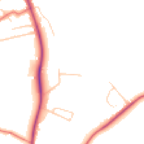
Daytime· 07:00 – 23:00
48.0dB

Night-time· 23:00 – 07:00
39.1dB