80 Barnsdale Avenue, Wirral, CH61 1BQ
About 80 Barnsdale Avenue
80 Barnsdale Avenue is a three-bedroom semi-detached house in Wirral (CH61 1BQ). It has a recorded floor area of 95 m² (around 1023 sq ft), construction records dating it to 1967-1975 and council tax band C. The latest certificate (September 2020) shows a C (score 72). The recommended improvements would push it to B (score 85).
Across 1996–2020, sale prices on this property compounded at 5.9% per year. Today's modelled estimate of £282,000 is 29.4% above the 2020 sale price. Last sale on file: £218,000 in November 2020.
What this property has
Inside
- Bedrooms3
- Bathrooms1
- Dining roomYes
Outside
- Private gardenFront and rear
- GarageDetached
Building
- RefurbishedYes
Everything you need to know about 80 Barnsdale Avenue
The true value, the hidden risks and the full sale history, in one report.
30-day money-back guarantee

The data behind every report


Energy performance
EPC Rating
Planning history
80 Barnsdale Avenue has no planning applications on record.
The full report still covers planning activity across the surrounding area.
Sales history & valuation
80 Barnsdale Avenue has more than quadrupled in price since its earliest registered sale in 1996.
£282,000
Modelled from EPC, postcode comparables and a sale-price growth of 5.9% per year over 25 years.
£218,000
Growth on file: 5.9% per year over 25 years.
Sales timeline
13 November 2020Most recent
£218,000
+282.5%over 22 years17 November 1997
£57,000
+7.5%over 1 year25 April 1996
£53,000
Median price across the last 5 sales in CH61 1BQ: £265,000 (2025–2022).
Nearby sales in CH61 1BQ
Versus other Barnsdale Avenue homes
CO₂ Emissions for 80 Barnsdale Avenue runs comfortably ahead of the street norm.
Price per m²
£2,295
Street avg £2,939
Floor Area
95 m²
Street avg 95 m²
Habitable Rooms
4 rooms
Street avg 5 rooms
CO₂ Emissions
3.1 t/year
Street avg 4.2 t/year
Everything you need to know about 80 Barnsdale Avenue
The true value, the hidden risks and the full sale history, in one report.
30-day money-back guarantee
The data behind every report
Similar properties nearby
1 Overdale Avenue
CH61 1DB
1 Gwendoline Close
CH61 1DJ
10 Overdale Avenue
CH61 1DB
10 Gwendoline Close
CH61 1DL
1 Regents Close
CH61 1BP
1 Barnsdale Avenue
CH61 1BD
1 The Leas
CH61 1BA
10 Holmwood Avenue
CH61 1AX
The neighbourhood at a glance
Crime
2/mo
Steady year-on-year across the wider district.
Nearest stop
0.3 km
Sparks Lane — bus stop.
Closest school
0.5 km
Thingwall Primary School. 13 schools nearby.
Go deeper on the local area
The full report breaks down crime, transport links, schools and air quality in depth.
Road noise across the postcode
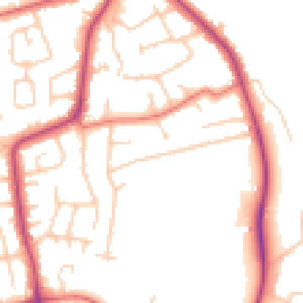
Daytime· 07:00 – 23:00
50.7dB

Night-time· 23:00 – 07:00
41.3dB