79 Barnsdale Avenue, Wirral, CH61 1BE
About 79 Barnsdale Avenue
79 Barnsdale Avenue is a three-bedroom semi-detached house in Wirral (CH61 1BE). It has a recorded floor area of 119 m² (around 1281 sq ft), construction records dating it to 1950-1966 and council tax band C. Other recorded features include a conservatory. Records show the property has been extended at some point in its history. The latest certificate (October 2021) shows a C (score 70).
At 119 m² it's 22.7% larger than the typical home in the postcode (97 m² median across 11 EPCs). Across 2001–2022, sale prices on this property compounded at 7.1% per year. Today's modelled estimate of £353,000 is 10.3% above the 2022 sale price. Sold April 2022 for £320,000. That sale was during the post-pandemic price surge, when transactions cleared materially above pre-2020 trend.
What this property has
Inside
- Bedrooms3
- Bathrooms1
- Dining roomYes
- Utility roomYes
- EnsuiteYes
- StudyYes
- ConservatoryYes
Outside
- Private gardenRear
- ParkingOff road
Building
- Previously extendedYes
Everything you need to know about 79 Barnsdale Avenue
The true value, the hidden risks and the full sale history, in one report.
30-day money-back guarantee

The data behind every report


Energy performance
EPC Rating
Planning history
79 Barnsdale Avenue has no planning applications on record.
The full report still covers planning activity across the surrounding area.
Sales history & valuation
79 Barnsdale Avenue has more than quadrupled in price since its earliest registered sale in 2001.
£353,000
Modelled from EPC, postcode comparables and a sale-price growth of 7.1% per year over 21 years.
£320,000
Growth on file: 7.1% per year over 21 years.
Sales timeline
27 April 2022Most recent
£320,000
+321.1%over 21 years23 April 2001
£76,000
Median price across the last 5 sales in CH61 1BE: £310,250 (2025–2023).
Nearby sales in CH61 1BE
Versus other Barnsdale Avenue homes
79 Barnsdale Avenue outperforms the street on floor area by a wide margin.
Price per m²
£2,689
Street avg £2,692
Floor Area
119 m²
Street avg 95 m²
Habitable Rooms
5 rooms
Street avg 5 rooms
CO₂ Emissions
4.2 t/year
Street avg 3.4 t/year
Everything you need to know about 79 Barnsdale Avenue
The true value, the hidden risks and the full sale history, in one report.
30-day money-back guarantee
The data behind every report
Similar properties nearby
1 Regents Close
CH61 1BP
1 Barnsdale Avenue
CH61 1BD
1 The Leas
CH61 1BA
1 Gwendoline Close
CH61 1DJ
1 Overdale Avenue
CH61 1DB
10 Holmwood Avenue
CH61 1AX
10 Overdale Avenue
CH61 1DB
10 Gwendoline Close
CH61 1DL
The neighbourhood at a glance
Crime
2/mo
Steady year-on-year across the wider district.
Nearest stop
0.3 km
Sparks Lane — bus stop.
Closest school
0.6 km
Thingwall Primary School. 13 schools nearby.
Go deeper on the local area
The full report breaks down crime, transport links, schools and air quality in depth.
Road noise across the postcode
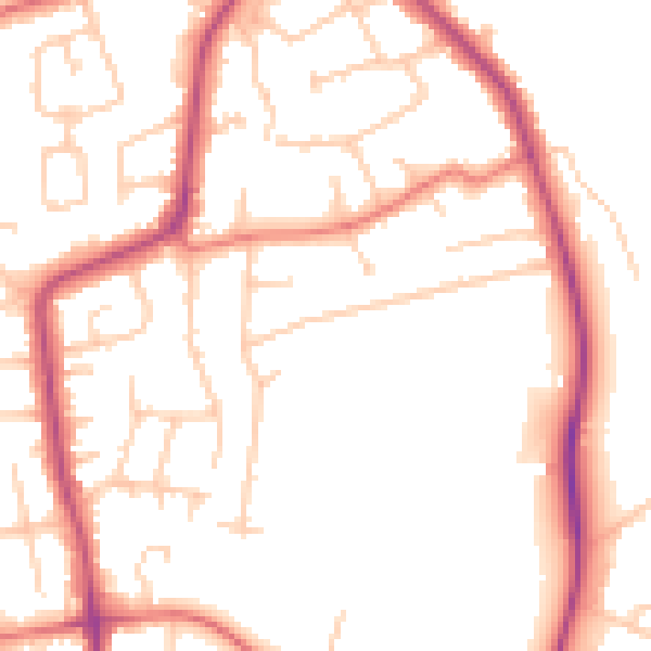
Daytime· 07:00 – 23:00
50.8dB

Night-time· 23:00 – 07:00
41.3dB