81 Barnsdale Avenue, Wirral, CH61 1BE
About 81 Barnsdale Avenue
81 Barnsdale Avenue is a three-bedroom semi-detached house in Wirral (CH61 1BE). It has a recorded floor area of 87 m² (around 936 sq ft), construction records dating it to 1967-1975 and council tax band C. The latest certificate (June 2023) shows a C (score 71). When first surveyed in March 2016 the rating was D, the property has climbed 1 band since. Between certificates, lighting went from Poor to Very Good; while wall efficiency dropped from Good to Average. The recommended improvements would push it to B (score 84).
Today's modelled estimate of £296,000 is 18.4% above the 2024 sale price. On a £-per-square-foot basis, the last sale (£267/sq ft) was about 25.2% above the typical sold price in the postcode. Most recent transfer: March 2024 at £250,000.
What this property has
Inside
- Bedrooms3
- Bathrooms1
Everything you need to know about 81 Barnsdale Avenue
The true value, the hidden risks and the full sale history, in one report.
30-day money-back guarantee

The data behind every report


Energy performance
EPC Rating
Property Improvements
Changes detected from historical EPC data
More low energy lighting installed
Planning history
81 Barnsdale Avenue has no planning applications on record.
The full report still covers planning activity across the surrounding area.
Sales history & valuation
81 Barnsdale Avenue valuation sits well clear of the typical sold price in this postcode.
£296,000
Modelled from EPC, postcode comparables.
£250,000
Recorded with HM Land Registry.
Sales timeline
15 March 2024Most recent
£250,000
Median price across the last 5 sales in CH61 1BE: £321,120 (2025–2022).
Nearby sales in CH61 1BE
Versus other Barnsdale Avenue homes
On floor area, 81 Barnsdale Avenue runs well behind the street norm.
Price per m²
£2,874
Street avg £2,675
Floor Area
87 m²
Street avg 98 m²
Habitable Rooms
5 rooms
Street avg 5 rooms
CO₂ Emissions
3.1 t/year
Street avg 3.5 t/year
Everything you need to know about 81 Barnsdale Avenue
The true value, the hidden risks and the full sale history, in one report.
30-day money-back guarantee
The data behind every report
Similar properties nearby
1 Gwendoline Close
CH61 1DJ
1 Overdale Avenue
CH61 1DB
10 Overdale Avenue
CH61 1DB
1 Regents Close
CH61 1BP
10 Gwendoline Close
CH61 1DL
1 Barnsdale Avenue
CH61 1BD
1 The Leas
CH61 1BA
10 Holmwood Avenue
CH61 1AX
The neighbourhood at a glance
Crime
2/mo
Steady year-on-year across the wider district.
Nearest stop
0.3 km
Sparks Lane — bus stop.
Closest school
0.6 km
Thingwall Primary School. 13 schools nearby.
Go deeper on the local area
The full report breaks down crime, transport links, schools and air quality in depth.
Road noise across the postcode
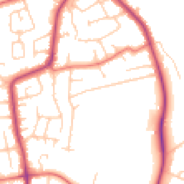
Daytime· 07:00 – 23:00
50.8dB

Night-time· 23:00 – 07:00
41.3dB