87 Barnsdale Avenue, Wirral, CH61 1BE
About 87 Barnsdale Avenue
87 Barnsdale Avenue is a three-bedroom semi-detached house in Wirral (CH61 1BE). It has a recorded floor area of 104 m² (around 1119 sq ft), construction records dating it to 1950-1966 and council tax band C. Tenure is freehold. The latest certificate (September 2015) shows a C (score 70). The recommended improvements would push it to B (score 84). The latest certificate is from September 2015, so improvements made since then won't be reflected.
Most recent transfer was March 2025 at £325,000 — fresh data. On a £-per-square-foot basis, the last sale (£290/sq ft) was about 36.1% above the typical sold price in the postcode.
What this property has
Inside
- Bedrooms3
- Bathrooms1
- Dining roomYes
Outside
- GarageYes
Building
- TenureFreehold
Everything you need to know about 87 Barnsdale Avenue
The true value, the hidden risks and the full sale history, in one report.
30-day money-back guarantee

The data behind every report


Energy performance
EPC Expired
This certificate is over 10 years old and is no longer valid.Expired 08 Sept 2025
EPC Rating
Planning history
87 Barnsdale Avenue has no planning applications on record.
The full report still covers planning activity across the surrounding area.
Sales history & valuation
87 Barnsdale Avenue valuation sits well clear of the typical sold price in this postcode.
£328,000
Modelled from EPC, postcode comparables.
£325,000
Recorded with HM Land Registry.
Sales timeline
26 March 2025Most recent
£325,000
Median price across the last 5 sales in CH61 1BE: £310,250 (2024–2022).
Nearby sales in CH61 1BE
Versus other Barnsdale Avenue homes
Years Held for 87 Barnsdale Avenue lags the street by a wide margin.
Price per m²
£3,125
Street avg £2,652
Floor Area
104 m²
Street avg 97 m²
Habitable Rooms
6 rooms
Street avg 5 rooms
CO₂ Emissions
3.7 t/year
Street avg 3.5 t/year
Everything you need to know about 87 Barnsdale Avenue
The true value, the hidden risks and the full sale history, in one report.
30-day money-back guarantee
The data behind every report
Similar properties nearby
1 Regents Close
CH61 1BP
1 Gwendoline Close
CH61 1DJ
1 Barnsdale Avenue
CH61 1BD
1 The Leas
CH61 1BA
1 Overdale Avenue
CH61 1DB
10 Overdale Avenue
CH61 1DB
10 Gwendoline Close
CH61 1DL
10 Holmwood Avenue
CH61 1AX
The neighbourhood at a glance
Crime
2/mo
Steady year-on-year across the wider district.
Nearest stop
0.3 km
Sparks Lane — bus stop.
Closest school
0.6 km
Thingwall Primary School. 13 schools nearby.
Go deeper on the local area
The full report breaks down crime, transport links, schools and air quality in depth.
Road noise across the postcode
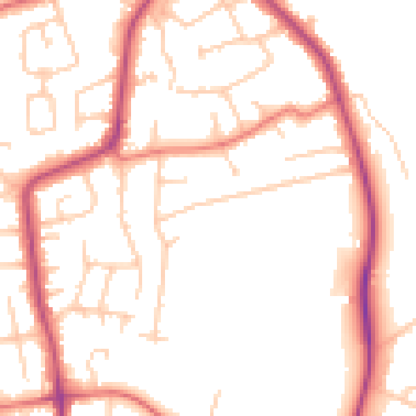
Daytime· 07:00 – 23:00
50.8dB

Night-time· 23:00 – 07:00
41.3dB