13a, Thorncroft Drive, Wirral, CH61 1AG
About 13a
13a is a three-bedroom detached house in Wirral (CH61 1AG). It has a recorded floor area of 178 m² (around 1916 sq ft) and construction records dating it to 2021. The latest certificate (April 2021) returns a B (score 84), comfortably above the UK average. The recommended improvements would push it to A (score 92). Main heating runs on electricity: electricity, unspecified tariff.
At 178 m² the property is well over the postcode median (116 m² across 5 EPCs), placing it in the larger end of the local stock. On energy efficiency it sits in the top 10% of properties in this postcode. Across 1997–2022, sale prices on this property compounded at 6.7% per year. Today's modelled estimate of £760,000 is 18.8% above the 2022 sale price. On a £-per-square-foot basis, the last sale (£334/sq ft) was about 152.7% above the typical sold price in the postcode. Sold July 2022 for £640,000. That sale was during the post-pandemic price surge, when transactions cleared materially above pre-2020 trend.
What this property has
Inside
- Bedrooms3
- Bathrooms4
- Open-plan layoutYes
- Dining roomYes
- StudyYes
Outside
- Private gardenWrap around
- ParkingOff street
Everything you need to know about 13a
The true value, the hidden risks and the full sale history, in one report.
30-day money-back guarantee

The data behind every report


Energy performance
13a ranks among the most efficient homes in the postcode for energy use.
EPC Rating
Planning history
13a has no planning applications on record.
The full report still covers planning activity across the surrounding area.
Sales history & valuation
Latest sale on 13a was the highest on Land Registry record across the postcode.
£760,000
Modelled from EPC, postcode comparables and a sale-price growth of 6.7% per year over 25 years.
£640,000
Growth on file: 6.7% per year over 25 years.
Sales timeline
28 July 2022Most recent
£640,000
+392.3%over 24 years28 November 1997
£130,000
Median price across the last 5 sales in CH61 1AG: £229,000 (2023–2017).
Nearby sales in CH61 1AG
Versus other Thorncroft Drive homes
13a outperforms the street on price per m² by a wide margin.
Price per m²
£3,596
Street avg £2,216
Floor Area
178 m²
Street avg 133 m²
CO₂ Emissions
2.3 t/year
Street avg 5.3 t/year
Years Held
4 years
Street avg 7 years
Everything you need to know about 13a
The true value, the hidden risks and the full sale history, in one report.
30-day money-back guarantee
The data behind every report
Similar properties nearby
1 Woodlands Drive
CH61 1AP
10 Holmwood Avenue
CH61 1AX
1 The Leas
CH61 1BA
1 Barnsdale Avenue
CH61 1BD
1 Regents Close
CH61 1BP
1 Gwendoline Close
CH61 1DJ
1 Overdale Avenue
CH61 1DB
10 Overdale Avenue
CH61 1DB
The neighbourhood at a glance
Daytime road noise here sits well below conversation level — a quiet pocket of the postcode.
Crime
2/mo
Steady year-on-year across the wider district.
Nearest stop
0.4 km
Gills Lane — bus stop.
Closest school
0.9 km
Pensby Primary School. 10 schools nearby.
Go deeper on the local area
The full report breaks down crime, transport links, schools and air quality in depth.
Road noise across the postcode
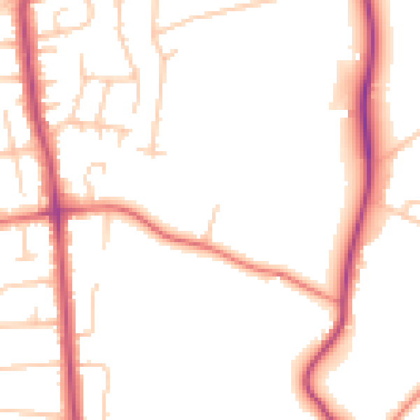
Daytime· 07:00 – 23:00
49.7dB

Night-time· 23:00 – 07:00
40.7dB