2 Lyndhurst Road, Heswall, Wirral, CH61 0HB
About 2 Lyndhurst Road
2 Lyndhurst Road is a detached house in Heswall, Wirral, Wirral (CH61 0HB). It has a recorded floor area of 105 m² (around 1130 sq ft) and council tax band D. The latest certificate (April 2020) returns a B (score 84), comfortably above the UK average. The recommended improvements would push it to A (score 94).
It hasn't traded since July 2000, a hold of 26 years that's notably long for the area. On energy efficiency it sits in the top 10% of properties in this postcode. Across 1998–2000, sale prices on this property compounded at 21.2% per year. Today's modelled estimate of £349,000 sits 220.2% above the 2000 sale of £109,000. On a £-per-square-foot basis, the last sale (£96/sq ft) was about 58.1% below the postcode norm.
Everything you need to know about 2 Lyndhurst Road
The true value, the hidden risks and the full sale history, in one report.
30-day money-back guarantee

The data behind every report


Energy performance
2 Lyndhurst Road ranks among the most efficient homes in the postcode for energy use.
EPC Rating
Planning history
2 Lyndhurst Road has no planning applications on record.
The full report still covers planning activity across the surrounding area.
Sales history & valuation
2 Lyndhurst Road's modelled value sits at over four times its earliest registered sale price (1998).
£349,000
Modelled from EPC, postcode comparables and a sale-price growth of 21.2% per year over 2 years.
£109,000
Growth on file: 21.2% per year over 2 years.
Sales timeline
6 July 2000Most recent
£109,000
+49.3%over 2 years4 June 1998
£73,000
Median price across the last 5 sales in CH61 0HB: £376,000 (2024–2020).
Nearby sales in CH61 0HB
23 Lyndhurst Road, Heswall, Wirral, CH61 0HB
Sold May 2024
£400,00020 Lyndhurst Road, Heswall, Wirral, CH61 0HB
Sold Mar 2024
£280,00023a, Lyndhurst Road, Heswall, Wirral, CH61 0HB
Sold Jul 2023
£510,0002a, Lyndhurst Road, Heswall, Wirral, CH61 0HB
Sold Aug 2021
£375,00015 Lyndhurst Road, Heswall, Wirral, CH61 0HB
Sold Nov 2020
£376,000
Versus other Lyndhurst Road homes
On price per m², 2 Lyndhurst Road runs well behind the street norm.
Price per m²
£1,038
Street avg £2,868
Floor Area
105 m²
Street avg 103 m²
CO₂ Emissions
1.6 t/year
Street avg 6.1 t/year
Years Held
26 years
Street avg 9 years
Everything you need to know about 2 Lyndhurst Road
The true value, the hidden risks and the full sale history, in one report.
30-day money-back guarantee
The data behind every report
Similar properties nearby
11 Thurstaston Road, Irby
CH61 0HA
10 Lyndhurst Road, Heswall
CH61 0HB
12 Lyndhurst Road, Heswall
CH61 0HB
14 Lyndhurst Road, Heswall
CH61 0HB
11 Lyndhurst Road, Heswall
CH61 0HB
102 Thurstaston Road, Thurstaston
CH61 0HG
10 Dawpool Farm, Station Road, Thurstaston
CH61 0HR
10 Thurstaston Road, Irby
CH61 0HE
The neighbourhood at a glance
Daytime road noise here sits well below conversation level — a quiet pocket of the postcode.
Crime
2/mo
Steady year-on-year across the wider district.
Nearest stop
0.1 km
Lyndhurst Road — bus stop.
Closest school
0.6 km
Thurstaston Dawpool CofE Primary School. 10 schools nearby.
Go deeper on the local area
The full report breaks down crime, transport links, schools and air quality in depth.
Road noise across the postcode
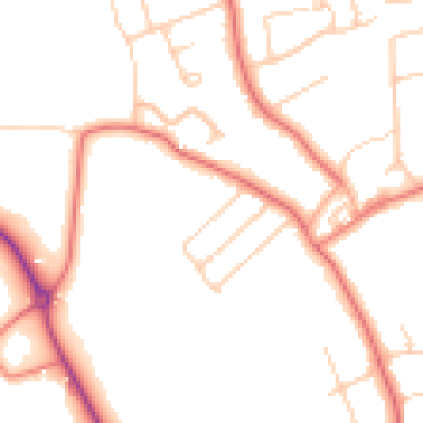
Daytime· 07:00 – 23:00
48.9dB

Night-time· 23:00 – 07:00
39.1dB