23a, Lyndhurst Road, Heswall, Wirral, CH61 0HB
About 23a
23a is a three-bedroom detached house in Heswall, Wirral, Wirral (CH61 0HB). It has a recorded floor area of 142 m² (around 1528 sq ft) and council tax band E. The latest certificate (April 2019) shows a C (score 80), near the top of the C band. Earlier certificates rated it B (May 2014); the latest reading is one band lower. Between certificates, window efficiency dropped from Very Good to Good. The recommended improvements would push it to B (score 87). The home occupies a cul-de-sac position.
At 142 m² the property is well over the postcode median (93 m² across 14 EPCs), placing it in the larger end of the local stock. Its energy rating outperforms most of the postcode (better than 86% of similar EPCs). On a £-per-square-foot basis, the last sale (£334/sq ft) was about 52.4% above the typical sold price in the postcode. Last sale on file: £510,000 in July 2023.
What this property has
Inside
- Bedrooms3
- Bathrooms3
- Open-plan layoutYes
- Dining roomYes
- EnsuiteYes
- FireplaceYes
Outside
- Private gardenRear
- Cul-de-sacYes
Building
- RefurbishedYes
Everything you need to know about 23a
The true value, the hidden risks and the full sale history, in one report.
30-day money-back guarantee

The data behind every report


Energy performance
EPC Rating
Planning history
23a has no planning applications on record.
The full report still covers planning activity across the surrounding area.
Sales history & valuation
Latest sale on 23a was the highest on Land Registry record across the postcode.
£560,000
Modelled from EPC, postcode comparables.
£510,000
Recorded with HM Land Registry.
Sales timeline
30 July 2023Most recent
£510,000
Median price across the last 5 sales in CH61 0HB: £375,000 (2024–2018).
Nearby sales in CH61 0HB
23 Lyndhurst Road, Heswall, Wirral, CH61 0HB
Sold May 2024
£400,00020 Lyndhurst Road, Heswall, Wirral, CH61 0HB
Sold Mar 2024
£280,0002a, Lyndhurst Road, Heswall, Wirral, CH61 0HB
Sold Aug 2021
£375,00015 Lyndhurst Road, Heswall, Wirral, CH61 0HB
Sold Nov 2020
£376,00014 Lyndhurst Road, Heswall, Wirral, CH61 0HB
Sold May 2018
£265,000
Versus other Lyndhurst Road homes
On floor area, 23a stands well clear of the street.
Price per m²
£3,592
Street avg £2,671
Floor Area
142 m²
Street avg 100 m²
Habitable Rooms
6 rooms
Street avg 5 rooms
CO₂ Emissions
3.0 t/year
Street avg 6.0 t/year
Everything you need to know about 23a
The true value, the hidden risks and the full sale history, in one report.
30-day money-back guarantee
The data behind every report
Similar properties nearby
1 Rangers House, Station Road, Thurstaston
CH61 0HN
12 Sandy Lane, Irby
CH61 0HD
10 Thurstaston Road, Irby
CH61 0HE
11 Lyndhurst Road, Heswall
CH61 0HB
14 Lyndhurst Road, Heswall
CH61 0HB
11 Thurstaston Road, Irby
CH61 0HA
12 Lyndhurst Road, Heswall
CH61 0HB
12 Dawpool Farm, Station Road, Thurstaston
CH61 0HR
The neighbourhood at a glance
Daytime road noise here sits well below conversation level — a quiet pocket of the postcode.
Crime
2/mo
Steady year-on-year across the wider district.
Nearest stop
0.1 km
Lyndhurst Road — bus stop.
Closest school
0.6 km
Thurstaston Dawpool CofE Primary School. 10 schools nearby.
Go deeper on the local area
The full report breaks down crime, transport links, schools and air quality in depth.
Road noise across the postcode
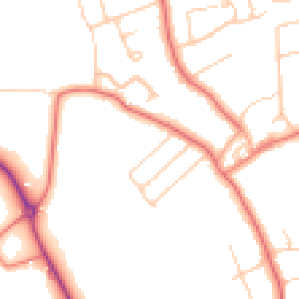
Daytime· 07:00 – 23:00
48.9dB

Night-time· 23:00 – 07:00
39.1dB